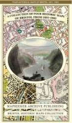
A Bristol 1851-1903 - Fold up Map that consists of Four Detailed Street Plans, Bristol 1851 by John Tallis, 1866 by A Fullarton, 1893 by William MacKenzie and 1903 by Bartholomew.: Bristol Historic Maps Collection
Autor Mapseeker Publishing Ltd.en Limba Engleză Sheet map – 15 mai 2013
Preț: 132.34 lei
Nou
Puncte Express: 199
Preț estimativ în valută:
25.33€ • 27.52$ • 21.29£
25.33€ • 27.52$ • 21.29£
Disponibil
Livrare economică 31 martie-14 aprilie
Livrare express 15-21 martie pentru 14.28 lei
Preluare comenzi: 021 569.72.76
Specificații
ISBN-13: 9781844918171
ISBN-10: 1844918173
Pagini: 1
Dimensiuni: 225 x 119 x 9 mm
Greutate: 0.1 kg
Editura: Historical Images Ltd
Seria Bristol Historic Maps Collection
ISBN-10: 1844918173
Pagini: 1
Dimensiuni: 225 x 119 x 9 mm
Greutate: 0.1 kg
Editura: Historical Images Ltd
Seria Bristol Historic Maps Collection