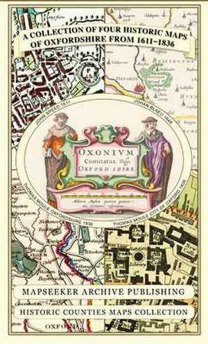
A Collection of Four Historic Maps of Oxfordshire from 1611-1836: Historic Counties Maps Collection
Autor Mapseeker Publishing Ltd.en Limba Engleză Sheet map – 14 mai 2013
This folded map (890mm x 1000mm when unfolded) is an ideal souvenir for tourists to Oxfordshire and also a valuable reference resource for local and family history research. It includes 4 Historic maps of Oxfordshire, John Speed 1611, Johan Blaue 1648,Thomas Moule 1836 and The City of Oxford 1836.
Preț: 132.34 lei
Nou
Puncte Express: 199
Preț estimativ în valută:
25.33€ • 27.50$ • 21.27£
25.33€ • 27.50$ • 21.27£
Disponibil
Livrare economică 01-15 aprilie
Livrare express 15-21 martie pentru 14.28 lei
Preluare comenzi: 021 569.72.76
Specificații
ISBN-13: 9781844918140
ISBN-10: 1844918149
Pagini: 1
Dimensiuni: 227 x 124 x 8 mm
Greutate: 0.1 kg
Editura: Historical Images Ltd
Seria Historic Counties Maps Collection
ISBN-10: 1844918149
Pagini: 1
Dimensiuni: 227 x 124 x 8 mm
Greutate: 0.1 kg
Editura: Historical Images Ltd
Seria Historic Counties Maps Collection


