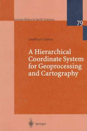
A Hierarchical Coordinate System for Geoprocessing and Cartography: Lecture Notes in Earth Sciences, cartea 79
Autor Geoffrey H. Duttonen Limba Engleză Paperback – 20 oct 1998
Din seria Lecture Notes in Earth Sciences
- 18%
 Preț: 944.99 lei
 -
 Preț: 402.38 lei
 - 15%
 Preț: 641.71 lei
 - 15%
 Preț: 637.46 lei
 - 15%
 Preț: 643.34 lei
 - 15%
 Preț: 644.82 lei
 - 15%
 Preț: 639.59 lei
 - 18%
 Preț: 1248.33 lei
 - 15%
 Preț: 643.99 lei
 - 18%
 Preț: 1222.94 lei
 - 18%
 Preț: 957.62 lei
 - 18%
 Preț: 1001.19 lei
 -
 Preț: 384.48 lei
 - 18%
 Preț: 951.29 lei
 - 18%
 Preț: 954.45 lei
 - 15%
 Preț: 637.59 lei
 - 18%
 Preț: 943.43 lei
 - 18%
 Preț: 1228.29 lei
 - 18%
 Preț: 950.33 lei
 - 18%
 Preț: 955.25 lei
 -
 Preț: 397.59 lei
 - 18%
 Preț: 946.55 lei
 - 23%
 Preț: 871.21 lei
 - 18%
 Preț: 1005.74 lei
 - 15%
 Preț: 635.80 lei
 - 18%
 Preț: 943.08 lei
 - 18%
 Preț: 946.41 lei
 -
 Preț: 382.57 lei
 - 18%
 Preț: 957.62 lei
Preț: 385.47 lei
Nou
Puncte Express: 578
Preț estimativ în valută:
73.76€ • 77.37$ • 61.40£
73.76€ • 77.37$ • 61.40£
Carte tipărită la comandă
Livrare economică 01-15 aprilie
Preluare comenzi: 021 569.72.76
Specificații
ISBN-13: 9783540649809
ISBN-10: 3540649808
Pagini: 248
Ilustrații: XVIII, 230 p. 84 illus. With 12 Falttafeln. With online files/update.
Dimensiuni: 155 x 235 x 13 mm
Greutate: 0.35 kg
Ediția:1999
Editura: Springer Berlin, Heidelberg
Colecția Springer
Seria Lecture Notes in Earth Sciences
Locul publicării:Berlin, Heidelberg, Germany
Public țintă
ResearchCuprins
Introduction and Problem Statement.- Historical and Conceptual Background.- Computational Aspects of a Quaternary Triangular Mesh.- Using QTM to Support Map Generalization.- QTM Scale Filtering: Tests and Evaluations.- New Approaches to Cartographic Questions.- Quaternary Triangular Mesh Data Processing.- Basic, Computational and Invented Geospatial Terms.- Generalization Experiments: Statistical Results.- Generalization Experiments: Cartographic Results.- Efficiency of QTM as a Spatial Index for Point Data.
Caracteristici
Theoretical approach with several applications Contains a series of experiments in map generalization


