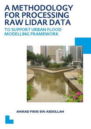
A Methodology for Processing Raw LIDAR Data to Support Urban Flood Modelling Framework: UNESCO-IHE PhD Thesis
Autor Ahmad Fikri Bin Abdullahen Limba Engleză Paperback – 15 apr 2012
Preț: 324.23 lei
Preț vechi: 679.48 lei
-52% Nou
Puncte Express: 486
Preț estimativ în valută:
62.04€ • 66.34$ • 51.73£
62.04€ • 66.34$ • 51.73£
Carte tipărită la comandă
Livrare economică 17 aprilie-01 mai
Preluare comenzi: 021 569.72.76
Specificații
ISBN-13: 9780415624756
ISBN-10: 0415624754
Pagini: 214
Dimensiuni: 174 x 246 mm
Greutate: 0.36 kg
Ediția:1
Editura: CRC Press
Colecția CRC Press
ISBN-10: 0415624754
Pagini: 214
Dimensiuni: 174 x 246 mm
Greutate: 0.36 kg
Ediția:1
Editura: CRC Press
Colecția CRC Press
Cuprins
1. Introduction 2. Urban flood modelling 3. Two Dimensional (2D) surface model, 4. Airborne Laser Scanning (ALS) 5. Filtering algorithms, 6. Evaluation of current filtering algorithms, 7. Development of Modified Progressive Morphological Algorithm (MPMA) 8. Case Study: Kuala Lumpur.9. Conclusions.
Notă biografică
Ahmad Fikri bin Abdullah was born in the state of Terengganu, Malaysia. In 1996 he enrolled to the BSc degree course with a full scholarship from the Public Service Department of Malaysia for 4 years in Geoinformatics (GIS) at the Malaysia University of Technology. He was graduated (with distinction) in 2000. Soon after that, he was hired as a GIS Executive at Geomatika Technology Sdn Bhd and after that as a GIS Manager at Guardian Data Sdn Bhd. In July 2006 he was offered a full scholarship UNESCO-IHE under SWITCH project for PhD degree. In 2008 he received a full scholarship from the Ministry for Higher Education of Malaysia for pursuing his PhD. The period of the scholarship was 5 years. His research was devoted for A Methodology for Processing Raw LiDAR Data to Support Urban Flood Modelling Framework which is presented in this thesis.
Descriere
This book presents the augmentation of an existing Progressive Morphological filtering algorithm for processing raw LiDAR data to support a 1D/2D urban flood modelling framework. The key characteristics of this improved algorithm are: (1) the ability to deal with different kinds of buildings; (2) the ability to detect elevated road/rail lines
