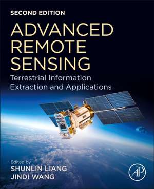
Advanced Remote Sensing: Terrestrial Information Extraction and Applications
Editat de Shunlin Liang, Jindi Wangen Limba Engleză Paperback – 22 noi 2019
While rigorous enough for the most experienced of scientists, the techniques presented are well designed and integrated, making the book’s content intuitive and practical in its implementation.
- Provides a comprehensive overview of many practical methods and algorithms
- Offers descriptions of the principles and procedures of the state-of-the-art in remote sensing
- Includes real-world case studies and end-of-chapter exercises
- Contains thoroughly revised chapters, newly developed applications and updated examples
Preț: 842.17 lei
Preț vechi: 1065.75 lei
-21% Nou
Puncte Express: 1263
Preț estimativ în valută:
161.14€ • 168.25$ • 133.37£
161.14€ • 168.25$ • 133.37£
Carte tipărită la comandă
Livrare economică 28 martie-11 aprilie
Preluare comenzi: 021 569.72.76
Specificații
ISBN-13: 9780128158265
ISBN-10: 0128158263
Pagini: 1010
Dimensiuni: 191 x 235 mm
Greutate: 1.7 kg
Ediția:2
Editura: ELSEVIER SCIENCE
ISBN-10: 0128158263
Pagini: 1010
Dimensiuni: 191 x 235 mm
Greutate: 1.7 kg
Ediția:2
Editura: ELSEVIER SCIENCE
Public țintă
Researchers and students in remote sensing, geophysics, geology, geography, planetary science, environmental scienceCuprins
1. A Systematic View of Remote Sensing
2. Geometric Processing and Positioning Techniques
3. Compositing, Smoothing, and Gap-filling Techniques
4. Data Fusion
5. Atmospheric Correction of Optical Imagery
6. Solar Radiation
7. Broadband Albedo
8. Land-Surface Temperature and Thermal Infrared Emissivity
9. Surface Longwave Radiation Budget
10. Canopy Biochemical Characteristics
11. Leaf Area Index
12. Fraction of Absorbed Photosynthetically Active Radiation by Green Vegetation
13. Fractional Vegetation Cover
14. Vegetation Height and Vertical Structure
15. Above-ground Biomass
16. Vegetation Production in Terrestrial Ecosystems
17. Precipitation
18. Terrestrial Evapotranspiration
19. Soil Moisture Content
20. Snow Water Equivalence
21. Water Storage
22. High-level Land Product Integration Methods
23. Production Data Management Systems
24. Land Cover and Land Use Changes
