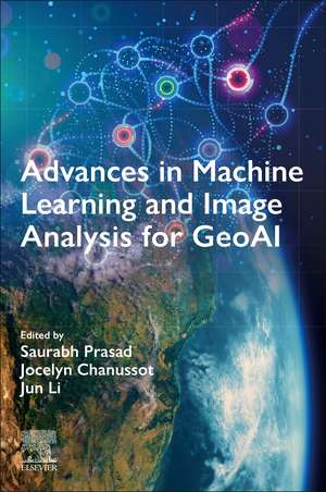
Advances in Machine Learning and Image Analysis for GeoAI
Editat de Saurabh Prasad, Jocelyn Chanussot, Jun Lien Limba Engleză Paperback – 30 apr 2024
This book offers a comprehensive resource for graduate students, researchers, and practitioners in the area of geospatial image analysis. It provides detailed descriptions of the latest techniques, best practices, and insights essential for implementing deep learning strategies in GeoAI research and applications.
- Covers the latest machine learning and signal processing techniques that can effectively leverage multimodal geospatial imagery at scale
- Chapters cover a variety of algorithmic frameworks pertaining to GeoAI, including superresolution, self-supervised learning, data fusion, explainable AI, among others
- Presents cutting-edge deep learning architectures optimized for a wide array of geospatial imagery
Preț: 732.71 lei
Preț vechi: 805.17 lei
-9% Nou
Puncte Express: 1099
Preț estimativ în valută:
140.25€ • 152.39$ • 117.88£
140.25€ • 152.39$ • 117.88£
Carte tipărită la comandă
Livrare economică 14-28 aprilie
Preluare comenzi: 021 569.72.76
Specificații
ISBN-13: 9780443190773
ISBN-10: 0443190771
Pagini: 364
Dimensiuni: 152 x 229 mm
Greutate: 0.45 kg
Editura: ELSEVIER SCIENCE
ISBN-10: 0443190771
Pagini: 364
Dimensiuni: 152 x 229 mm
Greutate: 0.45 kg
Editura: ELSEVIER SCIENCE
Cuprins
1. Introduction
2. Deep Learning for Super-resolution in Remote Sensing
3. Few-Shot Open-Set Recognition of Hyperspectral Images
4. Deep Semantic Segmentation Networks for GeoAI: Impact of Design Choices on Segmentation Performance
5. Estimation of Class Priors for Improving Classification Accuracy
6. Benchmarking and end-to-end considerations for GeoAI-enabled decision making
7. Explainable AI for Earth Observation: Current Methods, Open Challenges, and Opportunities
8. Self-supervised Contrastive Learning for Wildfire Detection: Utility and Limitations
9. Multi-Modal Deep Learning for GeoAI
10. The Power of Voting - Ensemble Learning in Remote Sensing
11. Language and Remote Sensing
12. Spectral Unmixing for Geospatial Image Analysis
13. Applying GeoAI for Effective Large-Scale Wetland Monitoring
14. Leveraging ML approaches for scaling climate data in an atmospheric urban digital twin framework
