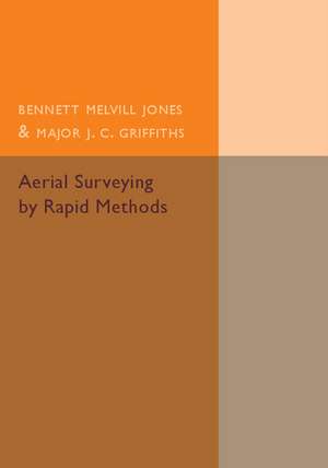
Aerial Surveying by Rapid Methods
Autor Bennett Melvill Jones, J. C. Griffithsen Limba Engleză Paperback – 20 mai 2015
Preț: 321.78 lei
Nou
Puncte Express: 483
Preț estimativ în valută:
61.57€ • 64.45$ • 51.25£
61.57€ • 64.45$ • 51.25£
Carte tipărită la comandă
Livrare economică 31 martie-14 aprilie
Preluare comenzi: 021 569.72.76
Specificații
ISBN-13: 9781107511514
ISBN-10: 1107511518
Pagini: 202
Dimensiuni: 178 x 254 x 11 mm
Greutate: 0.36 kg
Editura: Cambridge University Press
Colecția Cambridge University Press
Locul publicării:New York, United States
ISBN-10: 1107511518
Pagini: 202
Dimensiuni: 178 x 254 x 11 mm
Greutate: 0.36 kg
Editura: Cambridge University Press
Colecția Cambridge University Press
Locul publicării:New York, United States
Cuprins
Authors' foreword; Preface H. Hamshaw Thomas; 1. Introduction; 2. The problem of photographing the whole ground; 3. The problem of making a map from the photographs; 4. Preliminary experiments; 5. Mapping by mosaics of vertical photographs; 6. Mapping by navigation and oblique photographs; 7. Equipment and detailed procedure; 8. Training; 9. Conclusions; Appendix 1. The methods used in the study of random errors; Appendix 2. Pilots reports of the flights discussed in chapter 4; Appendix 3. Part I. On the influence of a steady rate of change of wind upon the accuracy of navigational control; Part II. On the elastic adjustment of errors in a navigationally controlled survey; Appendix 4. On the construction of graticules for the measurement of relative azimuth angles and depressions below the horizon; Appendix 5. On the probability of error in the estimation of height by the methods of chapter 6; Appendix 6. On the correction of the air-speed indicator for variations in air density; Appendix 7. On the wind gauge bearing plate and its uses in aerial surveying.
Descriere
Originally published in 1925, this book describes experiments at Cambridge regarding problems arising in the construction of maps from aerial photographs.
