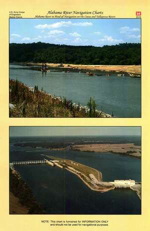
Alabama River Navigation Charts, Alabama River to Head of Navigation on the Coosa and Tallapossa Rivers
Autor Army Corps of Engineers (U.S.)en Limba Engleză Spirală – mai 2016 – vârsta de la 18 ani
This paper navigational chart book covers the Alabama River to Head of Navigation on the Coosa and Tallapossa Rivers.
U.S. Army Corps of Engineers paper navigational chart books are published to benefit both the professional and recreational maritime community. These chart books are spiral bound with sturdy covers and are designed for heavy service on any bridge. Mariners will find not only navigational charts within the pages of this chart book, but critical navigational safety information such as information pertaining to buoys, vertical clearances under bridges, warning to pleasure boaters and fisherman to include restricted and danger area boundaries; locks and dams; signals, lockage of tows; moorings and more. Well defined chart legends, and multiple indices make this chart book more than a simple navigational tool.
The U.S Coast Guard requires that commercial vessels operating in the waters represented within the pages of this chart book maintain on-board "navigation charts or maps appropriate to the area of operation..." (46 CFR Subchapter M). This chart book fulfills that requirement. However, it is incumbent on mariners to manually update these products and U.S. Coast Guard Notice to Mariners for changes and notices impacting these waters.
Related products:
Other products produced by the U.S. Army Corps of Engineers (USACE) can be found here: https://bookstore.gpo.gov/agency/919
U.S. Army Corps of Engineers (USACE) Navigational Charts collection can be found here: https://bookstore.gpo.gov/catalog/transportation-navigation/almanacs-navigation-guides/usace-navigational-charts
Navigation Rules and Regulations Handbook 2014 --most recent edition can be purchased here: https://bookstore.gpo.gov/products/sku/050-012-00517-6
Navigation by Water resources collection can be found here: https://bookstore.gpo.gov/catalog/transportation-navigation/almanacs-navigation-guides/navigation-water
Navigation by Air resources collection can be found here: https://bookstore.gpo.gov/catalog/transportation-navigation/almanacs-navigation-guides/navigation-air
Preț: 375.48 lei
Nou
Puncte Express: 563
Preț estimativ în valută:
71.85€ • 75.22$ • 59.45£
71.85€ • 75.22$ • 59.45£
Carte indisponibilă temporar
Doresc să fiu notificat când acest titlu va fi disponibil:
Se trimite...
Preluare comenzi: 021 569.72.76
Specificații
ISBN-13: 9780160935749
ISBN-10: 0160935741
Pagini: 118
Ediția:Revizuită
Editura: United States Dept. of Defense
Colecția Department of the Army
ISBN-10: 0160935741
Pagini: 118
Ediția:Revizuită
Editura: United States Dept. of Defense
Colecția Department of the Army
Cuprins
TABLE OF CONTENTS
Navigation Information
Contacts, US Coast Guard
IENC -- Inland Electronic Navigation Charts
Corps Lock Website, Frequencies, Antenna
U.S. Aids to Navigation
General Notes and Information
Introduction, Notes, Permits
Rules and Regulations, Navigation Laws
Legend
Chart Symbology, Daymarkers
Map Index
Map of all Charts and their Locations on the River
Submerged Crossings
Table of Submerged Crossings and Chart #
Vertical Clearance Table
Table of Aerial Crossings, Elevation and chart #
Shoaling Areas Table
Alabama River Shoaling Areas
Index of Feature Names
River Mile (Sheets 1-3)
Index of Feature Names
Alphabetical (Sheets 1-3)
Navigation Charts
Charts Nos. 1-46 (With Imagery and Bridge References)
