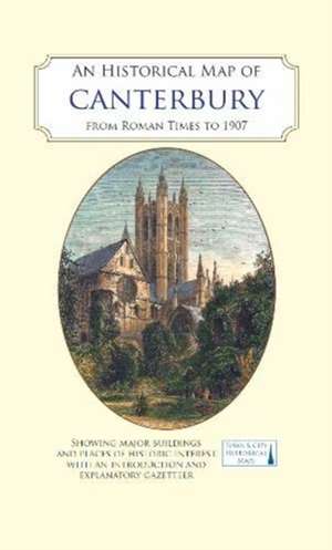
An Historical Map of Canterbury from medieval times to 1907: Town & City Historical Maps
Editat de Giles Darkes, Jake Weekesen Limba Engleză Sheet map – 17 mai 2021
Preț: 62.38 lei
Nou
Puncte Express: 94
Preț estimativ în valută:
11.94€ • 12.42$ • 9.86£
11.94€ • 12.42$ • 9.86£
Disponibil
Livrare economică 24 martie-07 aprilie
Livrare express 07-13 martie pentru 14.97 lei
Preluare comenzi: 021 569.72.76
Specificații
ISBN-13: 9780993469886
ISBN-10: 0993469884
Pagini: 2
Ilustrații: Coloured early views of buildings, monuments and street scenes and maps showing the development of Roman Canterbury.
Dimensiuni: 134 x 226 x 12 mm
Greutate: 0.12 kg
Editura: The Historic Towns Trust
Seria Town & City Historical Maps
ISBN-10: 0993469884
Pagini: 2
Ilustrații: Coloured early views of buildings, monuments and street scenes and maps showing the development of Roman Canterbury.
Dimensiuni: 134 x 226 x 12 mm
Greutate: 0.12 kg
Editura: The Historic Towns Trust
Seria Town & City Historical Maps