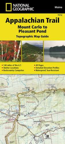
Appalachian Trail, Mount Carlo to Pleasant Pond, Maine: Trails Illustrated
en Limba Engleză Sheet map, folded – 23 sep 2015
Preț: 68.41 lei
Nou
Puncte Express: 103
Preț estimativ în valută:
13.09€ • 13.56$ • 10.93£
13.09€ • 13.56$ • 10.93£
Disponibil
Livrare economică 01-15 martie
Preluare comenzi: 021 569.72.76
Specificații
ISBN-13: 9781597756495
ISBN-10: 1597756490
Pagini: 1
Dimensiuni: 108 x 238 x 8 mm
Greutate: 0.08 kg
Editura: National Geographic Maps Division
Colecția National Geographic Maps Division
Locul publicării:Washington, United States
ISBN-10: 1597756490
Pagini: 1
Dimensiuni: 108 x 238 x 8 mm
Greutate: 0.08 kg
Editura: National Geographic Maps Division
Colecția National Geographic Maps Division
Locul publicării:Washington, United States


