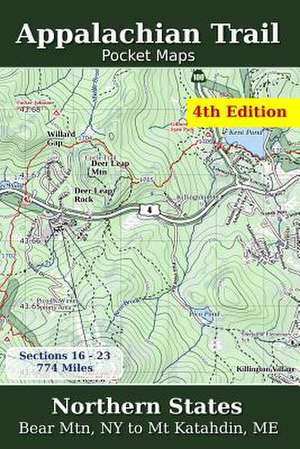
Appalachian Trail Pocket Maps - Northern States
en Limba Engleză Paperback
Northern States - Bear Mtn, NY to Mt. Katahdin, ME
November 1, 2015
The Appalachian Trail Pocket Map Series is a complete and concise set of topographic maps created with digitized base maps covering every step of the 2,180 mile trail from Georgia to Maine.
These next generation maps are not created from 20-50 year old scanned topo maps. They are created digitally with the most current data available from U.S. government sources.
The land cover, hydrology and contour data used to create these maps has been collected within the last 5 years, presented in a completely uniform manner across all 352 maps. No other complete AT map set available can say this
Features:
+ 352 full color, digitized topographic maps
+ Seamless. Uniform styles, colors, fonts and unit of measure.
+ Beautiful 3D hill shading
+ Highly detailed elevation chart on each map
+ Decimal degrees latitude/longitude and UTM Grids
+ Meta data for each section, climate, roads, etc
+ Section overview maps with sub-sections and elevations
+ 6" x 9" (15.2cm x 22.9cm) at 1:39000 format for easy pack stowage
+ Accumulated trail mileage every mile
+ Resupply locations within 90 miles of map center
+ Accurate trail trace from ATC
+ Over 850 shelter, parking and resupply locations
Part of a 3 volume set, these 6" x 9" full color topographic maps are designed to stow easily into your pack, without sacrificing the detail required by a hiker in the back country.
All 3 Appalachian Trail Pocket Maps volumes are: Southern States, Central States and Northern States.
Preț: 221.25 lei
Nou
42.34€ • 44.29$ • 35.17£
Disponibil
Livrare economică 12-26 martie
Specificații
ISBN-10: 1502497425
Pagini: 150
Dimensiuni: 152 x 229 x 10 mm
Greutate: 0.28 kg
Editura: CreateSpace Independent Publishing Platform
