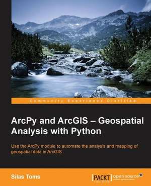
Arcpy and Arcgis: Geospatial Analysis with Python
Autor Silas Tomsen Limba Engleză Paperback – 26 feb 2015
Preț: 266.26 lei
Preț vechi: 332.83 lei
-20% Nou
Puncte Express: 399
Preț estimativ în valută:
50.95€ • 53.19$ • 42.17£
50.95€ • 53.19$ • 42.17£
Carte tipărită la comandă
Livrare economică 05-19 aprilie
Preluare comenzi: 021 569.72.76
Specificații
ISBN-13: 9781783988662
ISBN-10: 1783988665
Pagini: 205
Dimensiuni: 191 x 235 x 12 mm
Greutate: 0.39 kg
Editura: Packt Publishing Limited
ISBN-10: 1783988665
Pagini: 205
Dimensiuni: 191 x 235 x 12 mm
Greutate: 0.39 kg
Editura: Packt Publishing Limited
Notă biografică
Silas Toms is a geographer and geospatial developer from California. Over the last decade, Silas has become an expert in the use of Python programming for geospatial analysis, publishing two books on the use of ArcPy. Now, as a President of Loki Intelligent Corporation, Silas develops ETL automation tools, interactive web maps, enterprise GIS, and location data for businesses and governments. Silas teaches classes on programming for GIS with BayGeo, and co-hosts The Mappyist Hour podcast.
