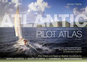
Atlantic Pilot Atlas
Autor James Clarkeen Limba Engleză Paperback – 27 feb 2011
Preț: 425.62 lei
Preț vechi: 703.34 lei
-39% Nou
Puncte Express: 638
Preț estimativ în valută:
81.45€ • 84.72$ • 67.24£
81.45€ • 84.72$ • 67.24£
Carte disponibilă
Livrare economică 24 martie-07 aprilie
Preluare comenzi: 021 569.72.76
Specificații
ISBN-13: 9781408122471
ISBN-10: 1408122472
Pagini: 80
Ilustrații: Over 40 colour charts and diagrams
Dimensiuni: 297 x 420 x 7 mm
Greutate: 0.98 kg
Ediția:5 Rev ed.
Editura: Bloomsbury Publishing
Colecția Adlard Coles
Locul publicării:London, United Kingdom
ISBN-10: 1408122472
Pagini: 80
Ilustrații: Over 40 colour charts and diagrams
Dimensiuni: 297 x 420 x 7 mm
Greutate: 0.98 kg
Ediția:5 Rev ed.
Editura: Bloomsbury Publishing
Colecția Adlard Coles
Locul publicării:London, United Kingdom
Caracteristici
Long distance cruising is on the increase and this is exactly the sort of book people need
Notă biografică
James Clarke is an Ocean Yachtmaster Instructor. During his circumnavigation, he recognised the need for an easily accessible routeing guide that contained everything sailors would need to know to sail the Atlantic, Caribbean and Mediterranean at any time of the year. The Atlantic Pilot Atlas is the result of his painstaking work to compile such a reference.
Descriere
A guide to the weather of the North and South Atlantic, the Mediterranean and the Caribbean - 40 colour charts show likely winds, currents, gale frequencies, rough sea conditions, hurricane tracks and recommended sailing routes for each month of the year.


