Charting the Plantation Landscape from Natchez to New Orleans
Editat de Laura Kilcer VanHussen Limba Engleză Hardback – 5 mai 2021
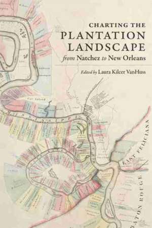
Essays by Laura Ewen Blokker and Suzanne Turner consider the built and designed landscapes of plantations as they were structured by the logics and logistics of both slavery and the effort to present a fa ade of serenity and wealth. William Horne and Charles D. Chamberlain III delve into the political activity of former slaves and slaveholders respectively, while Christopher Willoughby explores the ways the plantation health system was defined by the agro-industrial environment. Jochen Wierich examines artistic depictions of plantations from the antebellum years through the twentieth century, and Christopher Morris uses the famed Uncle Sam Plantation to explain how plantations have been memorialized, remembered, and preserved. With keen insight into the human cost of the idealized version of the agrarian South depicted in Persac's map, Charting the Plantation Landscape encourages us to see with new eyes and form new definitions of what constitutes the plantation landscape.
Preț: 325.26 lei
Nou
Puncte Express: 488
Preț estimativ în valută:
62.24€ • 65.16$ • 51.50£
62.24€ • 65.16$ • 51.50£
Carte disponibilă
Livrare economică 15-29 martie
Preluare comenzi: 021 569.72.76
Specificații
ISBN-13: 9780807174791
ISBN-10: 0807174793
Pagini: 256
Dimensiuni: 196 x 234 x 25 mm
Greutate: 0.5 kg
Editura: Lsu Press
ISBN-10: 0807174793
Pagini: 256
Dimensiuni: 196 x 234 x 25 mm
Greutate: 0.5 kg
Editura: Lsu Press
Notă biografică
Laura Kilcer VanHuss holds a B.A. in English from Hillsdale College and an M.A. in museum studies from Johns Hopkins University. For almost a decade, she has served as curator at Oak Alley Foundation, an institution dedicated to the preservation and interpretation of Oak Alley Plantation, a historic site in Vacherie, Louisiana.
Descriere
Examines the hidden histories behind one of the nineteenth-century South's most famous maps: Norman's Chart of the Lower Mississippi River, created by surveyor Marie Adrien Persac before the Civil War and used for decades to guide the pilots of river vessels.
