Cantitate/Preț
Produs

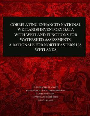
Correlating Enhanced National Wetlands Inventory Data with Wetland Functions for Watershed Assessments

Autor U S Fish & Wildlife Service
en Limba Engleză Paperback
The U.S. Fish and Wildlife Service has been conducting the National Wetlands Inventory for over 25 years. The NWI Program has produced wetland maps for 91% (78% final) of the lower 48 states, all of Hawaii, and 35% of Alaska. Wetlands are classified according to the Service's official wetland classification system (Cowardin et al. 1979). This classification describes wetlands by ecological system (Marine, Estuarine, Lacustrine, Riverine, and Palustrine), by subsystem (e.g., water depth, exposure to tides), class (vegetative life form or substrate type), subclass, water regimes (hydrology), water chemistry (pH and salinity), and special modifiers (e.g., alterations by humans). The maps have been converted to digital data for 47% of the lower 48 states and 18% of Alaska. The availability of digital data and geographic information system (GIS) technology make it possible to use NWI data for various geospatial analyses.
Citește tot Restrânge

Preț: 8015 lei

Nou

Puncte Express: 120

Preț estimativ în valută:
1534 1581$ 1295£

Carte disponibilă

Livrare economică 08-22 februarie

Preluare comenzi: 021 569.72.76

Specificații

ISBN-13: 9781507771761
ISBN-10: 1507771762
Pagini: 32
Dimensiuni: 216 x 279 x 2 mm
Greutate: 0.1 kg
Editura: CREATESPACE