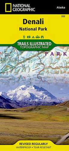
Denali National Park and Preserve: Trails Illustrated National Parks
Autor National Geographic Mapsen Limba Engleză Sheet map, folded – 2 aug 2012
Preț: 69.23 lei
Nou
Puncte Express: 104
Preț estimativ în valută:
13.25€ • 14.39$ • 11.13£
13.25€ • 14.39$ • 11.13£
Disponibil
Livrare economică 02-16 aprilie
Preluare comenzi: 021 569.72.76
Specificații
ISBN-13: 9781566953283
ISBN-10: 1566953286
Pagini: 1
Dimensiuni: 108 x 233 x 3 mm
Greutate: 0.09 kg
Editura: National Geographic Maps Division
Colecția National Geographic Maps Division
Locul publicării:Washington, United States
ISBN-10: 1566953286
Pagini: 1
Dimensiuni: 108 x 233 x 3 mm
Greutate: 0.09 kg
Editura: National Geographic Maps Division
Colecția National Geographic Maps Division
Locul publicării:Washington, United States


