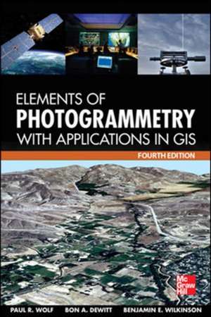
Elements of Photogrammetry with Application in GIS, Fourth Edition
Autor Paul Wolf, Bon DeWitt, Benjamin Wilkinsonen Limba Engleză Hardback – 31 oct 2012
The definitive guide to photogrammetry--fully updated
Thoroughly revised to cover the latest technological advances in the field, Elements of Photogrammetry with Applications in GIS, Fourth Edition, provides complete details on the foundational principles of photogrammetry as well as important advanced concepts. Significant changes in the instruments and procedures used in modern photogrammetry, including laser scanning, are discussed. Example problems clarify computational procedures and extensive photographs and diagrams illustrate the material presented in this comprehensive resource.Coverage includes:- Principles of photography and imaging
- Cameras and other imaging devices
- Image measurements and refinements
- Object space coordinate systems
- Vertical photographs
- Stereoscopic viewing
- Stereoscopic parallax
- Stereoscopic plotting instruments
- Laser scanning systems
- Elementary methods of planimetric mapping for GIS
- Titled and oblique photographs
- Introduction to analytical photogrammetry
- Topographic mapping and spatial data collection
- Fundamental principles of digital image processing
- Photogrammetric applications in GIS
- Control for aerial photogrammetry
- Aerotriangulation
- Project planning
- Terrestrial and close-range photogrammetry
Preț: 982.82 lei
Preț vechi: 1440.95 lei
-32% Nou
Puncte Express: 1474
Preț estimativ în valută:
188.08€ • 204.23$ • 157.99£
188.08€ • 204.23$ • 157.99£
Carte tipărită la comandă
Livrare economică 24-30 aprilie
Livrare express 15-21 martie pentru 159.15 lei
Preluare comenzi: 021 569.72.76
Specificații
ISBN-13: 9780071761123
ISBN-10: 0071761128
Pagini: 696
Dimensiuni: 155 x 234 x 41 mm
Greutate: 0.54 kg
Ediția:4
Editura: McGraw Hill Education
Colecția McGraw-Hill
Locul publicării:United States
ISBN-10: 0071761128
Pagini: 696
Dimensiuni: 155 x 234 x 41 mm
Greutate: 0.54 kg
Ediția:4
Editura: McGraw Hill Education
Colecția McGraw-Hill
Locul publicării:United States
Cuprins
1. Introduction
2. Principles of Photography and Imaging
3. Cameras and Other Imaging Devices
4. Image Measurements and Refinements
5. Object Space Coordinate Systems
6. Vertical Photographs
7. Stereoscopic Viewing
8. Stereoscopic Parallax
9. Elementary Methods of Planimetric Mapping for GIS
10. Tilted Photographs and Perspective Geometry
11. Introduction to Analytical Photogrammetry
12. Stereoscopic Plotting Instruments
13. Topographic Mapping and Spatial Data Collection
14. Elevated Data Collection by Laser Scanning Systems
15. Fundamental Principles of Digital Image Processing
16. Control for Aerial Photogrammetric Projects
17. Aerotriangulation
18. Project Planning
19. Terrestrial and Close-Range Photogrammetry
20. Introduction to GIS
21. Photogrammetric Applications in GIS
Appendix A. Units, Errors, Significant Figures and Error Propagation
Appendix B. Introduction to Least Square Adjustment
Appendix C. Coordinate Transformations
Appendix D. Development of Collinearity and Coplanarity Condition Equations
Appendix E. Digital Resampling
Appendix F. Conversions between Object Space Coordinate Systems
Descriere
The new edition of this definitive photogrammetry text covers the latest technological advances in this evolving field.
Essential for students and professionals, Elements of Photogrammetry with Application in GIS covers both the basic foundational principles of photogrammetry as well as important advanced concepts and applications. In the ten years since the previous edition was published, there have been numerous technological advances in photogrammetric sensors and processing methods. Specifically, there has been an increasing shift towards digital imagery, softcopy computer processing, aerial control, and direct georeferencing, as well as an increased use of laser scan mapping. This fully updated edition covers all of these developments.


