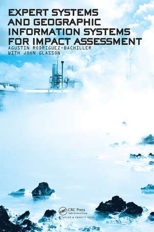
Expert Systems and Geographic Information Systems for Impact Assessment
Autor Agustin Rodriguez-Bachiller, John Glassonen Limba Engleză Paperback – 12 aug 2004
Following an introduction to each area, the various ways in which GIS and Expert Systems can be applied are discussed. This book is aimed at professionals working with Environmental Impact Assessment, GIS and expert-systems professionals and students in these areas.
Preț: 550.77 lei
Preț vechi: 647.97 lei
-15% Nou
Puncte Express: 826
Preț estimativ în valută:
105.39€ • 110.33$ • 87.20£
105.39€ • 110.33$ • 87.20£
Carte tipărită la comandă
Livrare economică 05-19 aprilie
Preluare comenzi: 021 569.72.76
Specificații
ISBN-13: 9780415307253
ISBN-10: 0415307252
Pagini: 408
Dimensiuni: 156 x 234 x 23 mm
Greutate: 0.75 kg
Ediția:1
Editura: CRC Press
Colecția CRC Press
ISBN-10: 0415307252
Pagini: 408
Dimensiuni: 156 x 234 x 23 mm
Greutate: 0.75 kg
Ediția:1
Editura: CRC Press
Colecția CRC Press
Public țintă
ProfessionalCuprins
PART ONEChapter 1 1. Introduction2. Expert Systems: what about space?3. Geographical Information Systems: more than display tools?4. GIS problems and potential5. Impact Assessment: ripe for automation?6. The IA process7. Environmental Statements8. Integration: the way ahead?REFERENCESChapter 2 1. Introduction2. Expert Systems and Artificial Intelligence2.1.The classical period2.2.The romantic period2.3.The modern period2. Expert systems: structure
Notă biografică
Agustin Rodreguez-Bachiller is a senior lecturer in quantitative methods in the School of Planning. His research and teaching interests involve information technology, expert systems, applied statistics, GIS / spatial analysis, and planning methods and theory. Professor John Glasson is Head of the School of Planning at Oxford Brookes University and is the Research Director of the Impact Assessment Unit. He is also a member of various national professional and academic committees, including the ESRC Global Environmental Change Committee.
Descriere
Expert Systems and GIS for Impact Assessment discusses the potential of integrating these two well known computer technologies to help with the process of Impact Assessment. The proposition behind the work is that all three areas are potentially complementary and that mutual benefits can be gained from bringing them together in the field of planning. Following an introduction to each area, the book discusses the various ways in which GIS and Expert Systems can be applied. This book is aimed at professionals working with Environmental Impact Assessment, GIS and expert-systems professionals and students in these areas.
