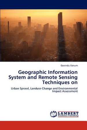
Geographic Information System and Remote Sensing Techniques on
Autor Govindu Vanumen Limba Engleză Paperback – 8 iul 2012
Preț: 446.94 lei
Preț vechi: 558.68 lei
-20% Nou
Puncte Express: 670
Preț estimativ în valută:
85.53€ • 88.97$ • 70.61£
85.53€ • 88.97$ • 70.61£
Carte tipărită la comandă
Livrare economică 14-28 aprilie
Preluare comenzi: 021 569.72.76
Specificații
ISBN-13: 9783659176791
ISBN-10: 3659176796
Pagini: 204
Dimensiuni: 152 x 229 x 12 mm
Greutate: 0.3 kg
Editura: LAP LAMBERT ACADEMIC PUBLISHING AG & CO KG
Colecția LAP Lambert Academic Publishing
ISBN-10: 3659176796
Pagini: 204
Dimensiuni: 152 x 229 x 12 mm
Greutate: 0.3 kg
Editura: LAP LAMBERT ACADEMIC PUBLISHING AG & CO KG
Colecția LAP Lambert Academic Publishing
Notă biografică
Presently working as Assistant Professor for Institute of Geo-Information and Earth Observation Sciences (I-GEOS), Mekelle University, Mekelle, Tegrai State Region, P.B.No.231, Ethiopia.12 Years of Experience in Research, Teaching and Industry
