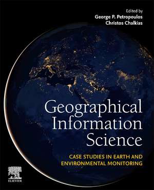
Geographical Information Science: Case Studies in Earth and Environmental Monitoring
Editat de George P. Petropoulos, Christos Chalkiasen Limba Engleză Paperback – 30 mai 2024
This book is a comprehensive reference for researchers, academics and technicians in the fields of geospatial science & technology, remote sensing, and environmental science; or those processing and analyzing geospatial data for monitoring and modelling.
- Focuses on global, templated case studies of GIS applications to environmental monitoring
- Includes methodologies allowing readers to recreate techniques and models and workflows that can be used in their own work
- Covers a plethora of topics in applied geosciences, providing environmental and geographical applications of practical interest
Preț: 725.93 lei
Preț vechi: 944.17 lei
-23% Nou
Puncte Express: 1089
Preț estimativ în valută:
138.91€ • 145.40$ • 115.61£
138.91€ • 145.40$ • 115.61£
Carte tipărită la comandă
Livrare economică 24 martie-07 aprilie
Livrare express 22-28 februarie pentru 98.36 lei
Preluare comenzi: 021 569.72.76
Specificații
ISBN-13: 9780443136054
ISBN-10: 044313605X
Pagini: 592
Dimensiuni: 191 x 235 x 31 mm
Greutate: 0.99 kg
Editura: ELSEVIER SCIENCE
ISBN-10: 044313605X
Pagini: 592
Dimensiuni: 191 x 235 x 31 mm
Greutate: 0.99 kg
Editura: ELSEVIER SCIENCE
Cuprins
1 .Land cover mapping
2. Snow & snow melting mapping
3. Digital Surface Modelling: assessment of different models
4. Geomorphological properties/features mapping
5. Heavy metals pollution on soils
6. Mapping landscape naturality (ecosystem services, ecology)
7. Soil properties mapping
8. Evapotranspiration retrievals from crops
9. Soil degradation from cultivation processes
10. Crop yield modelling
11. Precision agriculture and geoinformatics
12. Wetlands (properties) mapping
13. Coastal areas (properties) mapping
14. Bathymetry &/or lake water properties mapping
15. Sea level rise and climate change
16. Urban green cover (or Impervious surface area) mapping
17. Sustainable energy sources in urban environment
18. Urban expansion mapping (Urban Heat Island)
19. Mapping nightlight pollution
20. Air quality (/pollution) mapping
21. Air pollution mapping
22. Mapping noise pollution
23. Covid 19 & air pollution
24. Frost mapping
25. Wildfires mapping & recovery
26. Post-fire vegetation regrowth mapping
27. Floods mapping & damage assessment (or runoff modelling)
28. Landslide susceptibility assessment and mapping
