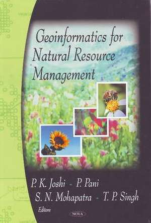
Geoinformatics for Natural Resource Management
P. K. Joshien Limba Engleză Hardback – 31 iul 2009
Preț: 1848.63 lei
Preț vechi: 2525.23 lei
-27% Nou
Puncte Express: 2773
Preț estimativ în valută:
353.74€ • 370.08$ • 293.85£
353.74€ • 370.08$ • 293.85£
Carte disponibilă
Livrare economică 12-26 martie
Preluare comenzi: 021 569.72.76
Specificații
ISBN-13: 9781606922118
ISBN-10: 1606922114
Pagini: 1
Ilustrații: tables, charts & maps
Dimensiuni: 183 x 257 x 43 mm
Greutate: 1.5 kg
Ediția:New.
Editura: NOVA SCIENCE PUB INC
ISBN-10: 1606922114
Pagini: 1
Ilustrații: tables, charts & maps
Dimensiuni: 183 x 257 x 43 mm
Greutate: 1.5 kg
Ediția:New.
Editura: NOVA SCIENCE PUB INC
Cuprins
Preface; Geoinformatics for Natural Resource Management -- An Introduction; In-situ & Remote Sensing Analysis of Harmful Algal Blooms (HABs) Occurrences Associated with Ocean Environments in the South China Sea; Monitoring shallow lakes in the Pampas; Applications of satellite remote sensing & GIS to oceanography & fisheries: Case studies in the Western Iberia; Determining evapotranspiration & assessing the predictability of vegetation condition using satellite remote sensing methods; Geoinformatics for water accumulation modelling -- A case study of India; Decision Support System (DSS) based on automatic water balance computation for groundwater management planning: The case of Israels Coastal aquifer; Enhancing Community Resilience through Information Management: Flood Risk Mapping in Central Vietnam; Systematic Assessment of Forest Cover Change & Forest Fragmentation in Indian Sub-Continent using Multi-Scale Satellite Remote Sensing Inputs; Spatiotemporal Dynamics of Land Use/Land Cover & Timber Carbon Storage: A Case Study from Bulanikdere, Turkey; Mapping of Terrestrial Carbon Sources & Sinks through Remote Sensing & Inputs; Geo-information for Sustainable Development of Agriculture -- Some Examples of North India; Fuzzy Clustering Algorithms for Irrigated Area Classification from IRS LISS Data; Remote Sensing & GIS Aided Land Degradation Assessment in the Greater Mekong Sub-Region; Remote Sensing techniques for Geological mapping & exploration; Application of Soft Computing for Landslide Prediction, Prevention & Mitigation; Land Subsidence Phenomena: Recent Developments in Measurement Techniques by Space-borne Approach & Modelling; Impact of Informal Settlements of Urban Environment; Geoinformatics for Urbanisation & Urban Sprawl pattern analysis; Potential of the Information Technology for the Public Participation in the Urban Planning; Exploring Alternate Futures with GIS -- A Planning Support System; Using SDI & Service-based Systems to Facilitate Natural Resource Management; Fundamentals for using Geographic Information Science to Measure the Effectiveness of Land Conservation Projects; Validation of GIS-Performed Analysis; Digital Governance & Hotspot Geoinformatics for Monitoring, Etiology, Early Warning, & Management at a District Level; Index.
