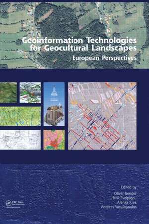
Geoinformation Technologies for Geo-Cultural Landscapes: European Perspectives
Editat de Andreas Vassilopoulos, Niki Evelpidou, Oliver Bender, Alenka Kreken Limba Engleză Hardback – 4 dec 2008
Preț: 991.40 lei
Preț vechi: 1369.20 lei
-28% Nou
Puncte Express: 1487
Preț estimativ în valută:
189.73€ • 197.35$ • 156.63£
189.73€ • 197.35$ • 156.63£
Carte tipărită la comandă
Livrare economică 14-28 aprilie
Preluare comenzi: 021 569.72.76
Specificații
ISBN-13: 9780415468596
ISBN-10: 0415468590
Pagini: 308
Dimensiuni: 174 x 246 x 25 mm
Greutate: 0.7 kg
Ediția:1
Editura: CRC Press
Colecția CRC Press
ISBN-10: 0415468590
Pagini: 308
Dimensiuni: 174 x 246 x 25 mm
Greutate: 0.7 kg
Ediția:1
Editura: CRC Press
Colecția CRC Press
Public țintă
Postgraduate and ProfessionalCuprins
1. Introduction: Research components linking papers; Data quality, scales, errors and accuracy; What is geo-cultural landscape; Are we interested in what modern man caused to the landscape? - 2. Data capturing and mapping: Introduction; Vertical photogrammetry; Oblique aerial photography; Lidar; High resolution satellite image interpretation; Global Positioning Systems; Field data collection; Vectorisation and rectification of historical maps; Technical concept of WebGIS - 3. Analysis and modeling: Introduction; Surface modelling; Linear landscape features; Landscape characterisation; Land use analysis; Landscape metrics; Geo-cultural modeling; Visualisation - 4. Case Studies: a. Roscommon, Ireland; b. Lincolnshire, Great Britain; c. Thira, Akrotiri, Greece; d. Vindobona, Austria; e. Eastern Andalusia, Spain; f. Potenza valley, Italy; g. Eastern Andalusia, Spain; h. Potenza valley, Italy; i. Lac de Montady, France.
Notă biografică
Andreas Vassilopoulos, Niki Evelpidou, Oliver Bender, Alenka Krek
Descriere
Illustrated with numerous practical examples, this book links research problems, geoinformation methods, and corresponding applications. The research goals, both theoretical and practical, originate from multidisciplinary fields such as archaeology, history, geography, landscape planning, environment, geoinformation science, geology, and geomorphology. Their research issues can be addressed and analysed with geoinformation technology. This book gives researchers the familiarity with the range of available geoinformation methods they need, providing descriptions of a variety of research problems and technological solutions that can be used to support processes of data capturing, mapping, and analysis.
