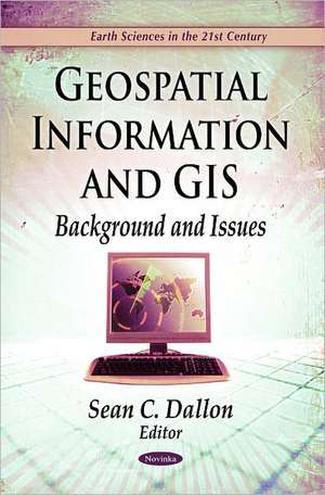
Geospatial Information & GIS
Editat de Sean C. Dallonen Limba Engleză Paperback – 19 iun 2011
Preț: 301.22 lei
Preț vechi: 406.77 lei
-26% Nou
Puncte Express: 452
Preț estimativ în valută:
57.65€ • 59.96$ • 47.59£
57.65€ • 59.96$ • 47.59£
Carte disponibilă
Livrare economică 22 martie-05 aprilie
Preluare comenzi: 021 569.72.76
Specificații
ISBN-13: 9781617614323
ISBN-10: 1617614327
Pagini: 98
Ilustrații: b/w photos
Dimensiuni: 225 x 152 x 7 mm
Greutate: 0.18 kg
Ediția:New.
Editura: Nova Science Publishers Inc
ISBN-10: 1617614327
Pagini: 98
Ilustrații: b/w photos
Dimensiuni: 225 x 152 x 7 mm
Greutate: 0.18 kg
Ediția:New.
Editura: Nova Science Publishers Inc
Cuprins
Preface; Geospatial Information & Geographic Information Systems (GIS): Current Issues & Future Challenges; Issues Regarding a National Land Parcel Database; The Changing Geospatial Landscape; The National Geospatial Technical Operations Center; Web-Based Geospatial Tools to Address Hazard Mitigation, Natural Resource Management, & other Societal Issues; Index.


