Cantitate/Preț
Produs

GIS Approaches for Remote Sensing and Photogrammetry

Editat de Matt Weilberg
en Limba Engleză Hardback
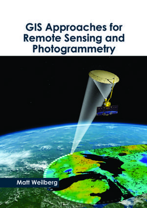
Geographic Information Systems (GIS) use satellites to gather relevant data and information for accurate representations of the Earth and its geographic features. It provides a simple solution so as to sort, classify and monitor the various environmental and geographical (natural and human) processes that are occurring in the world. GIS often rely on maps of various scales to interpret new information. Precise GIS models have diverse industrial applications. This book on GIS approaches for remote sensing and photogrammetry will help new researchers by foregrounding their knowledge in this branch. It aims to serve as a resource guide for students and experts alike and contribute to the growth of the discipline.
Citește tot Restrânge

Preț: 72430 lei

Preț vechi: 88329 lei
-18% Nou

Puncte Express: 1086

Preț estimativ în valută:
13861 14389$ 11558£

Carte tipărită la comandă

Livrare economică 22 martie-05 aprilie

Preluare comenzi: 021 569.72.76

Specificații

ISBN-13: 9781632399304
ISBN-10: 163239930X
Pagini: 226
Greutate: 0.82 kg