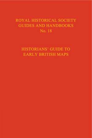
Historian's Guide to Early British Maps: A Guide to the Location of Pre-1900 Maps of the British Isles Preserved in the United Kingdom and Ireland: Royal Historical Society Guides and Handbooks, cartea 18
Editat de Helen Wallis, Anita McConnellen Limba Engleză Hardback – 5 apr 1995
Preț: 479.43 lei
Preț vechi: 538.68 lei
-11% Nou
Puncte Express: 719
Preț estimativ în valută:
91.75€ • 99.63$ • 77.07£
91.75€ • 99.63$ • 77.07£
Carte tipărită la comandă
Livrare economică 23 aprilie-07 mai
Preluare comenzi: 021 569.72.76
Specificații
ISBN-13: 9780521551526
ISBN-10: 0521551528
Pagini: 475
Dimensiuni: 148 x 238 x 29 mm
Greutate: 0.75 kg
Ediția:Revised
Editura: Cambridge University Press
Colecția Cambridge University Press
Seria Royal Historical Society Guides and Handbooks
Locul publicării:Cambridge, United Kingdom
ISBN-10: 0521551528
Pagini: 475
Dimensiuni: 148 x 238 x 29 mm
Greutate: 0.75 kg
Ediția:Revised
Editura: Cambridge University Press
Colecția Cambridge University Press
Seria Royal Historical Society Guides and Handbooks
Locul publicării:Cambridge, United Kingdom
Cuprins
Preface and acknowledgements; Part I. The History and Purpose of Maps: 1. List of essays on regional and specialised maps; 2. Editor's introduction; 3. Essays on regional and specialised maps; Part II. The Repositories: 4. Sources of information for Part II; 5. Note on stray manuscript maps; 6. Maps in the colleges of the universities of Oxford and Cambridge; 7. Abbreviations; 8. Old standards of length and map scales; 8. Key to arrangement of entries; 9. The repositories for England, the Channel Islands and the Isle of Man; 10. The repositories for Wales; 11. The repositories for Scotland; 12. The repositories for Northern Ireland; 13. The repositories for Ireland; Index to repositories.
Descriere
The publication of this volume from the Royal Historical Society provides a comprehensive guide to the early maps of Great Britain and Ireland.


