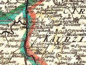
Historische Karte: Königreich BÖHMEN (Bohemia) 1760 (Plano)
Autor Jean Conrad Back Editat de Philipp Henry Hutter, Harald Rockstuhlde Limba Germană Sheet map – 31 dec 2012
Preț: 110.75 lei
Nou
Puncte Express: 166
Preț estimativ în valută:
21.19€ • 22.10$ • 17.61£
21.19€ • 22.10$ • 17.61£
Indisponibil temporar
Doresc să fiu notificat când acest titlu va fi disponibil:
Se trimite...
Preluare comenzi: 021 569.72.76
Specificații
ISBN-13: 9783867774895
ISBN-10: 3867774897
Pagini: 1
Dimensiuni: 55 x 720 x 60 mm
Greutate: 0.24 kg
Ediția:1. Reprintauflage.
Editura: Rockstuhl Verlag
ISBN-10: 3867774897
Pagini: 1
Dimensiuni: 55 x 720 x 60 mm
Greutate: 0.24 kg
Ediția:1. Reprintauflage.
Editura: Rockstuhl Verlag
