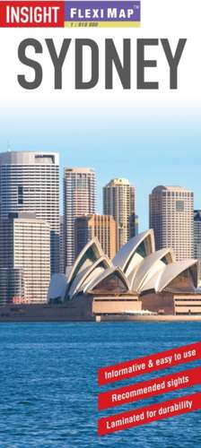
Insight Flexi Map: Sydney: Insight Flexi Maps
Autor APA Publications Limiteden Limba Engleză Sheet map – 31 iul 2014
It includes a list - with descriptions and some photographs - of 26 recommended sights, divided by theme and linked to the mapping by numbered markers. There is also a handy information section with concise details on getting around, tourist offices, money, tipping, opening times, public holidays, telecommunications, emergency telephone numbers and climate.
The main map is of the central districts of the city, shown at a scale of 1:12 500 (1cm = 0.125km). Public buildings, hotels and other places of interest are clearly marked and listed under separate headings on the extensive index. The city's Metro network is shown on this map and stations are named. A diagram of Sydney's CityRail network is located on the back cover for easy reference.
The Sydney Area map, located on the reverse, shows the city and its suburbs at a scale of 1:120 000 (1cm = 1.2km). Sydney Environs is shown at a scale of 1:700 000 (1cm = 7km). Each map has its own index, which has been categorised for ease of use, and highlights place of interest such as National Parks, beaches and recreational facilities.
Din seria Insight Flexi Maps
-
 Preț: 25.90 lei
 - 8%
 Preț: 32.90 lei
 -
 Preț: 39.97 lei
 -
 Preț: 37.10 lei
 -
 Preț: 37.16 lei
 -
 Preț: 42.91 lei
 -
 Preț: 39.97 lei
Preț: 30.46 lei
Nou
Puncte Express: 46
Preț estimativ în valută:
5.83€ • 6.09$ • 4.81£
5.83€ • 6.09$ • 4.81£
Indisponibil temporar
Doresc să fiu notificat când acest titlu va fi disponibil:
Se trimite...
Preluare comenzi: 021 569.72.76
Specificații
ISBN-13: 9781780054674
ISBN-10: 178005467X
Pagini: 2
Dimensiuni: 100 x 216 x 9 mm
Greutate: 0.06 kg
Ediția:3 ed.
Editura: APA Publishing Ltd
Colecția Insight
Seria Insight Flexi Maps
Locul publicării:London, United Kingdom
ISBN-10: 178005467X
Pagini: 2
Dimensiuni: 100 x 216 x 9 mm
Greutate: 0.06 kg
Ediția:3 ed.
Editura: APA Publishing Ltd
Colecția Insight
Seria Insight Flexi Maps
Locul publicării:London, United Kingdom
Recenzii
Insight Guides/Apa Publications is the UK's No. 2 overseas road and travel map publisher.
