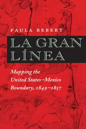
La Gran Línea: Mapping the United States–Mexico Boundary, 1849–1857
Autor Paula Reberten Limba Engleză Paperback – 28 feb 2001
Preț: 223.77 lei
Nou
Puncte Express: 336
Preț estimativ în valută:
42.82€ • 45.79$ • 35.70£
42.82€ • 45.79$ • 35.70£
Carte tipărită la comandă
Livrare economică 17 aprilie-01 mai
Preluare comenzi: 021 569.72.76
Specificații
ISBN-13: 9780292771116
ISBN-10: 0292771118
Pagini: 279
Ilustrații: 44 maps
Dimensiuni: 152 x 229 x 15 mm
Greutate: 0.41 kg
Ediția:Revised
Editura: University of Texas Press
Colecția University of Texas Press
ISBN-10: 0292771118
Pagini: 279
Ilustrații: 44 maps
Dimensiuni: 152 x 229 x 15 mm
Greutate: 0.41 kg
Ediția:Revised
Editura: University of Texas Press
Colecția University of Texas Press
Notă biografică
Paula Rebert is an independent scholar with a Ph.D. in the History of Cartography from the University of Wisconsin–Madison.
Cuprins
- List of Illustrations
- Preface
- Index Maps
- Introduction
- Chapter 1: On the Line: Field Surveys
- Chapter 2: The Boundary Office: Mapmaking
- Chapter 3: Consultation between the Commissions: Surveys on the Pacific and Gulf Coasts and the Colorado River
- Chapter 4: Cooperation in Surveying and Mapping: The Land Boundary
- Chapter 5: Controversy on the Boundary: Surveys of the Rio Grande
- Chapter 6: Authoritative Maps and the True Line
- Appendix: Map Authorities
- Notes
- Bibliography
- Index
Descriere
This book documents the accomplishments of both the U.S. and the Mexican Boundary Commissions that mapped the boundary between 1849 and 1857.


