Cantitate/Preț
Produs

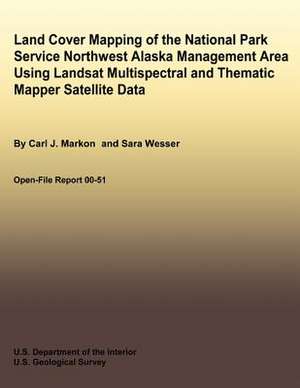
Land Cover Mapping of the National Park Service Northwest Alaska Management Area Using Landsat Multispectral and Thematic Mapper Satellite Data

Autor Carl J. Markon, Sara Wesser, U. S. Department of the Interior
en Limba Engleză Paperback
A land cover map of the National Park Service northwest Alaska management area was produced using digitally processed Landsat data. These and other environmental data were incorporated into a geographic information system to provide baseline information about the nature and extent of resources present in this northwest Alaskan environment. This report details the methodology, depicts vegetation profiles of the surrounding landscape, and describes the different vegetation types mapped. Portions of nine Landsat satellite (multispectral scanner and thematic mapper) scenes were used to produce a land cover map of the Cape Krusenstern National Monument and Noatak National Preserve and to update an existing land cover map of Kobuk Valley National Park Valley National Park. A Bayesian multivariate classifier was applied to the multispectral data sets, followed by the application of ancillary data (elevation, slope, aspect, soils, watersheds, and geology) to enhance the spectral separation of classes into more meaningful vegetation types. The resulting land cover map contains six major land cover categories (forest, shrub, herbaceous, sparse/barren, water, other) and 19 subclasses encompassing 7 million hectares. General narratives of the distribution of the subclasses throughout the project area are given along with vegetation profiles showing common relationships between topographic gradients and vegetation communities.
Citește tot Restrânge

Preț: 10081 lei

Nou

Puncte Express: 151

Preț estimativ în valută:
1929 1990$ 1633£

Carte disponibilă

Livrare economică 11-25 februarie

Preluare comenzi: 021 569.72.76

Specificații

ISBN-13: 9781492701231
ISBN-10: 1492701238
Pagini: 46
Dimensiuni: 216 x 279 x 3 mm
Greutate: 0.13 kg
Editura: CREATESPACE