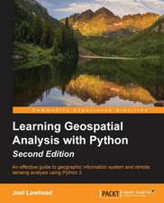
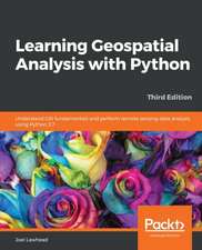
Learning Geospatial Analysis with Python
Autor Joel Lawheaden Limba Engleză Paperback – 24 oct 2013
Preț: 305.20 lei
Preț vechi: 381.51 lei
-20% Nou
Puncte Express: 458
Preț estimativ în valută:
58.41€ • 63.42$ • 49.06£
58.41€ • 63.42$ • 49.06£
Carte tipărită la comandă
Livrare economică 22 aprilie-06 mai
Preluare comenzi: 021 569.72.76
Specificații
ISBN-13: 9781783281138
ISBN-10: 1783281138
Pagini: 364
Dimensiuni: 191 x 235 x 19 mm
Greutate: 0.63 kg
Editura: Packt Publishing Limited
ISBN-10: 1783281138
Pagini: 364
Dimensiuni: 191 x 235 x 19 mm
Greutate: 0.63 kg
Editura: Packt Publishing Limited
Notă biografică
Joel Lawhead is a PMI-certified Project Management Professional, a certified GIS Professional, and the Chief Information Officer of NVision Solutions Inc., an award-winning firm specializing in geospatial technology integration and sensor engineering for NASA, FEMA, NOAA, the US Navy, and many other commercial and non-profit organizations. Joel began using Python in 1997 and started combining it with geospatial software development in 2000. He has authored multiple editions of Learning Geospatial Analysis with Python and QGIS Python Programming Cookbook, both from Packt. He is also the developer of the open source Python Shapefile Library (PyShp) and maintains a geospatial technical blog, GeospatialPython, and Twitter feed, @SpatialPython.
![Debugging C]+: Troubleshooting for Programmers](https://i4.books-express.ro/bt/9780072125191/debugging-c.jpg)
