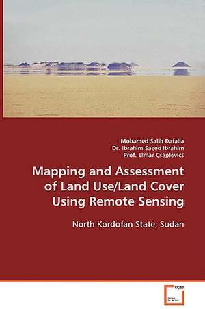
Mapping and Assessment of Land Use/Land Cover Using Remote Sensing
Autor Mohamed Salih Dafallaen Limba Engleză Paperback – 13 noi 2013
Preț: 388.91 lei
Nou
Puncte Express: 583
Preț estimativ în valută:
74.42€ • 77.80$ • 62.89£
74.42€ • 77.80$ • 62.89£
Carte tipărită la comandă
Livrare economică 06-20 martie
Preluare comenzi: 021 569.72.76
Specificații
ISBN-13: 9783836496322
ISBN-10: 3836496321
Pagini: 124
Dimensiuni: 152 x 219 x 15 mm
Greutate: 0.18 kg
Editura: VDM Verlag Dr. Müller e.K.
ISBN-10: 3836496321
Pagini: 124
Dimensiuni: 152 x 219 x 15 mm
Greutate: 0.18 kg
Editura: VDM Verlag Dr. Müller e.K.
Notă biografică
Mohamed Salih Dafalla Mohamed born in 1/1/1967 in the Sudan. Married and Father of two children. Assistant Professor of Remote Sensing and GIS, Dept. of Soil and Environmental Sciences. Faculty of Agriculture, University of Khartoum.
