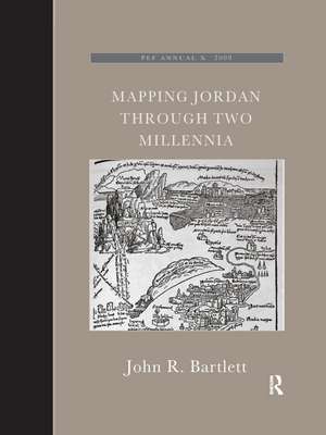
Mapping Jordan Through Two Millennia: The Palestine Exploration Fund Annual
Autor JohnR. Bartletten Limba Engleză Paperback – 12 dec 2019
The author took part in archaeological excavations and surveys in Jordan, was Associate Professor of Biblical Studies and Fellow at Trinity College Dublin, has published research papers and books on ancient Jordan. John Bartlett was the editor of the Palestine Exploration Quarterly, and until recently was the Chairman of the Palestine Exploration Fund.
Preț: 272.50 lei
Preț vechi: 341.57 lei
-20% Nou
Puncte Express: 409
Preț estimativ în valută:
52.16€ • 56.68$ • 43.84£
52.16€ • 56.68$ • 43.84£
Carte tipărită la comandă
Livrare economică 21 aprilie-05 mai
Preluare comenzi: 021 569.72.76
Specificații
ISBN-13: 9780367885908
ISBN-10: 0367885905
Pagini: 192
Dimensiuni: 210 x 280 mm
Greutate: 0.45 kg
Ediția:1
Editura: Taylor & Francis
Colecția Routledge
Seria The Palestine Exploration Fund Annual
Locul publicării:Oxford, United Kingdom
ISBN-10: 0367885905
Pagini: 192
Dimensiuni: 210 x 280 mm
Greutate: 0.45 kg
Ediția:1
Editura: Taylor & Francis
Colecția Routledge
Seria The Palestine Exploration Fund Annual
Locul publicării:Oxford, United Kingdom
Cuprins
1. Western knowledge of the Transjordan region in the first millennium AD.2. Medieval scholars, travellers and mapmakers.3. The first printed maps.4. Jacob Ziegler : Quae intus continentur and Terrae Sanctae ... Description.5. The sixteenth-century cartographers.6. Seventeenth-century publications.7. John Speed and Thomas Fuller.8. Seventeenth- and eighteenth-century travellers in Transjordan and their maps.9. Nineteenth-century exploration and mapping of Transjordan.10. The triangulation of Transjordan.11. The modern identification of ancient sites.
Descriere
This book shows how travellers and scholars since Roman times have put together their maps of the land east of the River Jordan. It traces the contribution of Roman armies and early Christian pilgrims and medieval European travellers.


