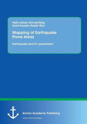
Mapping of Earthquake Prone Areas: Earthquake and its assessment
Autor Hafiz Adnan Ahmad Baig, Syed Hussain Haider Rizvien Limba Engleză Paperback – 29 iul 2014
Preț: 407.77 lei
Preț vechi: 503.42 lei
-19% Nou
Puncte Express: 612
Preț estimativ în valută:
78.03€ • 81.84$ • 64.96£
78.03€ • 81.84$ • 64.96£
Carte tipărită la comandă
Livrare economică 01-15 aprilie
Preluare comenzi: 021 569.72.76
Specificații
ISBN-13: 9783954893096
ISBN-10: 3954893096
Pagini: 80
Dimensiuni: 155 x 220 x 6 mm
Greutate: 0.11 kg
Editura: Anchor Academic Publishing
ISBN-10: 3954893096
Pagini: 80
Dimensiuni: 155 x 220 x 6 mm
Greutate: 0.11 kg
Editura: Anchor Academic Publishing
Notă biografică
The author holds an M.Sc. degree in Meteorology (specialization in Remote Sensing (RS) and Geographical information systems (GIS)) from the COMSATS Institute of Information Technology, Islamabad, and also a B.Sc. (Hons) degree in Space Science (specialization in Environment) from the Department of Space Science, University of the Punjab. In M.S Meteorology his research thesis was Application of Geographical information system for the tectonic Plate in Pakistan, while in B.Sc. (Hons) his research project was Spatial and Temporal Variation in Climate of Lahore (Pakistan) due to Rainfall. To date, the author has achieved many prizes, trophies and certificates. He stood distinguished in his batch at COMSATS Institute of Information Technology (CIIT), Islamabad in M.S., and was in the first merit list of CIIT and the Department of Space science, University of the Punjab, Lahore, at the time of his admission. Based on his outstanding academic career, the author has been awarded with a merit scholarship at CIIT. His research paper ¿Spatial and Temporal Variation in Climate of Lahore (Pakistan) due to Rainfall¿ has been published in ¿International Conference on Water, Environment and Health Sciences: The Climate Change Challenges¿. This Conference was organized by the Universidad de las Americas, Puebla in April, 13-17, 2009, at Cholula, Puebla, Mexico. The author has a decent knowledge of Geographic Information System (GIS) with Elements of Mapping & Cartography and Application of Remote Sensing plus Digital Image Processing & Environment Science, Analysis, Meteorology and Climatology. Additionally, he has partaken in study projects at the COMSATS Institute of Information Technology (CIIT) and the University of the Punjab.
