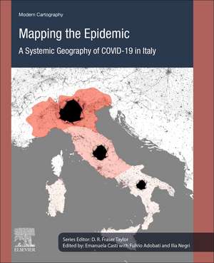
Mapping the Epidemic: A Systemic Geography of COVID-19 in Italy: Modern Cartography Series, cartea 9
Editat de Emanuela Casti, Fulvio Adobati, Ilia Negrien Limba Engleză Paperback – 31 aug 2021
Mapping the Epidemic: A Systemic Geography of COVID-19 in Italy uses an interdisciplinary approach that highlights the key role of geography and cartography in providing usable data and conclusions on the virus outbreak and will be valuable for researchers and professionals in the fields of geography, GIS, and spatial mapping, as well as statisticians working on mapping outbreaks and epidemiological scientists needing mapping data on the virus.
- Details reflexive mapping of the COVID pandemic, giving an interpretation that explains the epidemic’s variable complexity and visualizes it
- Provides a space-time approach, based on a database from the beginning of the Italian emergence to the decline phase, showing the virus spread intensity and speed in relation to socio-territorial factors
- Is complementary to studies carried out in the biomedical domain, referring to the results of these studies in an original and innovative way, envisaged through cybercartography
Preț: 641.19 lei
Preț vechi: 839.55 lei
-24% Nou
Puncte Express: 962
Preț estimativ în valută:
122.71€ • 127.64$ • 101.30£
122.71€ • 127.64$ • 101.30£
Carte tipărită la comandă
Livrare economică 08-22 aprilie
Preluare comenzi: 021 569.72.76
Specificații
ISBN-13: 9780323910613
ISBN-10: 0323910610
Pagini: 252
Ilustrații: 50 illustrations (32 in full color)
Dimensiuni: 191 x 235 mm
Greutate: 0.44 kg
Editura: ELSEVIER SCIENCE
Seria Modern Cartography Series
ISBN-10: 0323910610
Pagini: 252
Ilustrații: 50 illustrations (32 in full color)
Dimensiuni: 191 x 235 mm
Greutate: 0.44 kg
Editura: ELSEVIER SCIENCE
Seria Modern Cartography Series
Cuprins
1. The COVID-19 epidemic in Italy: The role played by reflexive cartography in the European epicenter
2. Reflexive mapping and territorial analysis on COVID-19 infection
3. Reticularity.and Territorial Fragility
4. Population and Contagion Dissemination
5. Mortality and Infection Severity
6. Pollution and Contagion Rate
7. Commuting and Urban Clusters in Lombardy
8. Containment Policies
2. Reflexive mapping and territorial analysis on COVID-19 infection
3. Reticularity.and Territorial Fragility
4. Population and Contagion Dissemination
5. Mortality and Infection Severity
6. Pollution and Contagion Rate
7. Commuting and Urban Clusters in Lombardy
8. Containment Policies


