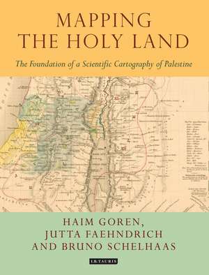
Mapping the Holy Land: The Foundation of a Scientific Cartography of Palestine: Tauris Historical Geographical Series
Autor Bruno Schelhaas, Jutta Faehndrich, Haim Gorenen Limba Engleză Hardback – 8 mai 2017
Preț: 720.63 lei
Preț vechi: 1031.27 lei
-30% Nou
Puncte Express: 1081
Preț estimativ în valută:
137.94€ • 149.88$ • 115.94£
137.94€ • 149.88$ • 115.94£
Carte disponibilă
Livrare economică 31 martie-14 aprilie
Preluare comenzi: 021 569.72.76
Specificații
ISBN-13: 9781784534547
ISBN-10: 1784534544
Pagini: 208
Ilustrații: 22 bw maps, 10 colour maps in 16pp plates
Dimensiuni: 189 x 246 x 25 mm
Greutate: 0.82 kg
Editura: Bloomsbury Publishing
Colecția I.B.Tauris
Seria Tauris Historical Geographical Series
Locul publicării:London, United Kingdom
ISBN-10: 1784534544
Pagini: 208
Ilustrații: 22 bw maps, 10 colour maps in 16pp plates
Dimensiuni: 189 x 246 x 25 mm
Greutate: 0.82 kg
Editura: Bloomsbury Publishing
Colecția I.B.Tauris
Seria Tauris Historical Geographical Series
Locul publicării:London, United Kingdom
Notă biografică
Haim Goren is Professor of Historical Geography, Tel Hai College, Israel. He has a longstanding interest in the Holy Land, European activity in Ottoman Palestine and the Near East, and the history of the modern scientific study of these regions. He is the author of Dead Sea Level: Science, Exploration and Imperial Interests in the Near East (2011) and (with E.Dolev and Y. Sheffy) Palestine and the First World War: New Perspectives (2014), both published by I.B.Tauris.Bruno Schelhaas is Head of the Archive for Geography, Leibniz Institute for Regional Geography,Leibniz, Germany. His interests include the history of geography and cartography, historical geography and archival science.Jutta Faehndrich is a researcher with the Leibniz Institute for Regional Geography, where her research focus is on the history of cartography, European cultural history, and cultures of memory.
Cuprins
PrefaceList of illustrations1. Introduction: Mapping the Holy Land2 Edward Robinson, Eli Smith and the cartography of Berghaus and Kiepert 3. The Land and the Map: C.W.M. van de Velde's Map of the Holy Land 4. August Petermann's Palestine maps Notes Archival sources Bibliography Index


