Cantitate/Preț
Produs

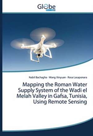
Mapping the Roman Water Supply System of the Wadi el Melah Valley in Gafsa, Tunisia, Using Remote Sensing

Autor Nabil Bachagha, Wang Xinyuan, Rosa Lasaponara
en Limba Engleză Paperback – 19 oct 2020
In recent years, very high-resolution satellite remote-sensing tools have been progressively used in archaeological prospecting to acquire information and improve documentation. Satellite remote sensing has also benefited from technical improvements, including better spectral and spatial resolution of sensors, which have facilitated the detection and discovery of unknown archaeological areas. This paper focuses on investigations conducted using multi-spectral satellite remote-sensing data of the ancient canal systems of the Wadi el Melah Valley (WMV) in Southern Tunisia. The area used to be part of a huge military defense system along the desert border. This paper describes the use of GeoEye-1 and Ziyuan-3 satellite remote-sensing data to reveal ancient Roman canals, which were part of an advanced hydraulic system devised to capture runo water and cope with the lack of water in the area. In general, this research provides new information on some essential sections of the Roman walled defense system Limes (Fossatum) in the southern part of the empire, where we study previously undetected sites.
Citește tot Restrânge

Preț: 22877 lei

Nou

Puncte Express: 343

Preț estimativ în valută:
4380 4552$ 3631£

Carte tipărită la comandă

Livrare economică 07-21 februarie 25

Preluare comenzi: 021 569.72.76

Specificații

ISBN-13: 9786200615183
ISBN-10: 6200615187
Pagini: 52
Dimensiuni: 150 x 220 x 4 mm
Greutate: 0.09 kg
Editura: GlobeEdit