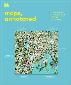
Maps, Annotated: The World's 300 Greatest Maps Explained: DK Annotated
Autor DKen Limba Engleză Hardback – 2 oct 2025
Immerse yourself in ancient Chinese star charts, decipher medieval Mappae Mundi, and marvel at intricate surveys of the ocean floor and the lunar surface. Discover how Polynesian navigators used sticks to chart their way across the Pacific, what a rhumb line is, and where dragons were once said to lurk.
Organized chronologically, the book includes the most celebrated examples of maps spanning the last 3,000 years, explaining everything from scales and compasses to meteorological symbols, and exploring techniques from engraving and printing to cartographic projection. Entries also place the maps in their wider cultural and historical context, providing a complete overview of the subject.
Combining stunning reproductions with precise annotation, visual analysis, and pull-out details, Maps, Annotated brings an expertly curated selection of the world’s most celebrated maps right into your home, telling the fascinating stories behind each one.
Preț: 254.64 lei
Nou
Puncte Express: 382
Preț estimativ în valută:
48.73€ • 53.09$ • 41.06£
48.73€ • 53.09$ • 41.06£
Carte nepublicată încă
Doresc să fiu notificat când acest titlu va fi disponibil:
Se trimite...
Preluare comenzi: 021 569.72.76
Specificații
ISBN-13: 9780241682845
ISBN-10: 0241682843
Pagini: 480
Dimensiuni: 238 x 287 mm
Editura: Dorling Kindersley - DK
Colecția DK
Seria DK Annotated
Locul publicării:London, United Kingdom
ISBN-10: 0241682843
Pagini: 480
Dimensiuni: 238 x 287 mm
Editura: Dorling Kindersley - DK
Colecția DK
Seria DK Annotated
Locul publicării:London, United Kingdom