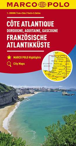
MARCO POLO Karte Frankreich Französische Atlantikküste 1:300 000: MARCO POLO Karte 1 : 300 000
de Limba Germană Sheet map – 27 noi 2018
Din seria MARCO POLO Karte 1 : 300 000
-
 Preț: 64.71 lei
 -
 Preț: 63.64 lei
 -
 Preț: 67.16 lei
 -
 Preț: 67.60 lei
 -
 Preț: 63.82 lei
 -
 Preț: 79.26 lei
 -
 Preț: 63.76 lei
 -
 Preț: 63.54 lei
 -
 Preț: 60.15 lei
 -
 Preț: 61.34 lei
 -
 Preț: 61.27 lei
 -
 Preț: 60.22 lei
 -
 Preț: 61.27 lei
 -
 Preț: 62.25 lei
 -
 Preț: 59.46 lei
 -
 Preț: 60.51 lei
 -
 Preț: 61.43 lei
 -
 Preț: 60.56 lei
 -
 Preț: 61.07 lei
 -
 Preț: 59.60 lei
 -
 Preț: 69.32 lei
 -
 Preț: 68.25 lei
 -
 Preț: 65.87 lei
Preț: 65.09 lei
Nou
Puncte Express: 98
Preț estimativ în valută:
12.45€ • 13.07$ • 10.34£
12.45€ • 13.07$ • 10.34£
Disponibil
Livrare economică 17-24 martie
Livrare express 06-12 martie pentru 15.83 lei
Preluare comenzi: 021 569.72.76
Specificații
ISBN-13: 9783829737876
ISBN-10: 3829737874
Pagini: 1
Dimensiuni: 136 x 254 x 30 mm
Greutate: 0.22 kg
Ediția:6. Auflage
Editura: Mairdumont
Seria MARCO POLO Karte 1 : 300 000
ISBN-10: 3829737874
Pagini: 1
Dimensiuni: 136 x 254 x 30 mm
Greutate: 0.22 kg
Ediția:6. Auflage
Editura: Mairdumont
Seria MARCO POLO Karte 1 : 300 000
Cuprins
Hauptkarte 1:300 000, Übersichtskarte zum Ausklappen, Entfernungstabelle, Verwaltungskarte, Index: mit mehrsprachiger Legende (F, D, GB, NL, I, E, CZ, PL) Marco Polo Highlights/ 3 Citypläne: - Bordeaux - Limoges - Toulouse; Verkehrsinformationen/ Reiseinformationen/ Ortsregister mit Départment, Postleitzahl und Suchfeldangabe/ Ausgewählte Sehenswürdigkeiten, Landschafts- und Gewässernamen mit Suchfeldangabe
Descriere
Let the Marco Polo map of French Atlantic Coast guide you around this wonderful region. Highly durable, this detailed, touring map folds away easily and is always on standby to help when you're stuck. Ideal for planning your trip before you go and for exploring while you're there. The map also features top sights not to be missed.
