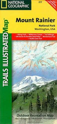
Mount Rainier National Park: Trails Illustrated National Parks
Autor National Geographic Mapsen Limba Engleză Sheet map, folded – 26 sep 2013
Preț: 69.20 lei
Nou
Puncte Express: 104
Preț estimativ în valută:
13.24€ • 13.75$ • 11.04£
13.24€ • 13.75$ • 11.04£
Disponibil
Livrare economică 03-17 martie
Preluare comenzi: 021 569.72.76
Specificații
ISBN-13: 9781566953450
ISBN-10: 1566953456
Pagini: 1
Dimensiuni: 108 x 235 x 8 mm
Greutate: 0.09 kg
Ediția:Revised
Editura: National Geographic Maps Division
Colecția National Geographic Maps Division
Locul publicării:Washington, United States
ISBN-10: 1566953456
Pagini: 1
Dimensiuni: 108 x 235 x 8 mm
Greutate: 0.09 kg
Ediția:Revised
Editura: National Geographic Maps Division
Colecția National Geographic Maps Division
Locul publicării:Washington, United States


