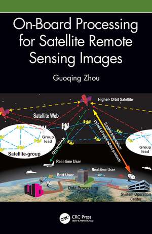
On-Board Processing for Satellite Remote Sensing Images
Autor Guoqing Zhouen Limba Engleză Hardback – 12 mai 2023
• Describes algorithms and methodologies for on-board image processing with FPGA chips.
• Migrates the traditional on-ground computing to on-board operation and the image processing is implemented on-board, not on-ground.
• Introduces for the first time many key technologies and methods for on-board image processing.
• Emphasizes the recent progress in image processing by using on-board FPGA chips.
• Includes case studies from the author’s extensive research and experience on the topic.
This book gives insights into emerging technologies for on-board processing and will benefit senior undergraduate and graduate students of remote sensing, information technology, computer science and engineering, electronic engineering, and geography, as well as researchers and professionals interested in satellite remote sensing image processing in academia, and governmental and commercial sectors.
Preț: 881.31 lei
Preț vechi: 1101.63 lei
-20% Nou
Puncte Express: 1322
Preț estimativ în valută:
168.63€ • 176.08$ • 139.25£
168.63€ • 176.08$ • 139.25£
Carte tipărită la comandă
Livrare economică 15-29 aprilie
Preluare comenzi: 021 569.72.76
Specificații
ISBN-13: 9781032329642
ISBN-10: 1032329645
Pagini: 240
Ilustrații: 50 Tables, black and white; 1 Line drawings, color; 8 Line drawings, black and white; 80 Halftones, color; 73 Halftones, black and white; 81 Illustrations, color; 81 Illustrations, black and white
Dimensiuni: 178 x 254 x 14 mm
Greutate: 0.64 kg
Ediția:1
Editura: CRC Press
Colecția CRC Press
Public țintă
Postgraduate, Professional, and Undergraduate AdvancedNotă biografică
Dr. Guoqing Zhou is a professor at the Guilin University of Technology, Guilin, China. He received his first PhD from Wuhan University, Wuhan, China, in 1994 and his second PhD from Virginia Tech at Blacksburg, Virginia, USA, in 2001. He was a visiting scholar at the Department of Computer Science and Technology, Tsinghua University, Beijing, China, and a postdoctoral researcher at the Institute of Information Science, Beijing Jiaotong University, Beijing, China, from 1994–1996. He continued his research as an Alexander von Humboldt Fellow at the Technical University of Berlin, Berlin, Germany, from 1997–1998 and afterward became a postdoctoral researcher at the Ohio State University, Columbus, OH, USA, from 1998 to 2000. Later he worked at Old Dominion University, Norfolk, VA, USA, as an assistant professor, associate professor, and full professor in 2000, 2005, and 2010, respectively. He has authored 11 books, seven book chapters, and more than 450 peer-refereed publications with more than 230 journal articles.
Cuprins
1. Introduction 2. On-Board Processing for Remotely Sensed Images 3. On-Board Detection and On-Board Matching of Feature Points 4. On-Board Detection of Ground Control Points 5. On-Board Geometric Calibration for Frame Camera 6. On-Board Geometric Calibration for Linear Array CCD Sensor 7. On-Board Georeferencing Using Optimized Second-Order Polynomial Equation 8. On-Board Image Ortho-Rectification Using Collinearity 9. On-Board Image Ortho-Rectification Using RPC Model 10. On-Board Flood Change Detection Using SAR Images
Descriere
This book explains methods, mathematical models, and key technologies used for on-board processing for remotely sensed satellite images, a technology that maximizes image data transmission efficiency. Intended for students, researchers, and professionals in government and industry interested in the remote sensing of cities and disaster monitoring.
