Cantitate/Preț
Produs

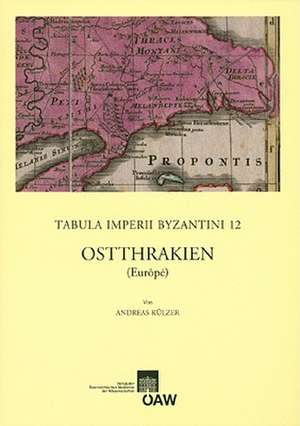
Ostthrakien: Tabula Imperii Byzantini, cartea 12


de Limba Germană Paperback
The 12th volume of Tabula Imperii Byzantini deals with the historical geography of Eastern Thrace in Antiquity and the Middle Ages. As the European hinterland of Constantinople, capital of the Byzantine empire for more than thousand years, the region was one of the most significant landscapes in the Eastern Mediterranean. Bordering on the Aegean in the west, the Sea of Marmara in the south and the Black Sea in the east the area is exposed to different climatic influences and shows a notable regional variety. Prominent places of Eastern Thrace are Constantinople with its suburbs and the Bosphorus, mount Ganos the holy mountain (Isiklar Dagi), the peninsula of Cherson?sos and the Istranca mountain with its numerous nameless fortresses. The introduction of the volume deals with geography and climate, with history, traffic-routes and economy. Furthermore, an alphabetical catalogue offers more than 700 entries of settlements, place-names, fortresses, churches etc. from late Antiquity and Byzantine times; it was composed by using GIS, written, archaeological and toponymical sources. The main map of Eastern Thrace is drawn to a scale of 1:800,000, a more detailed map shows the Golden Horn and the European shore of the Bosphorus to a scale of 1:100,000. The volume adjoins to TIB 6 Thrace by P. Soustal and TIB 10 The Northern Aegean by J. Koder, P. Soustal and A. Koder.
Citește tot Restrânge

Preț: 178773 lei

Preț vechi: 232173 lei
-23% Nou

Puncte Express: 2682

Preț estimativ în valută:
34236 34937$ 28804£

Indisponibil temporar

Doresc să fiu notificat când acest titlu va fi disponibil:

Preluare comenzi: 021 569.72.76

Specificații

ISBN-13: 9783700139454
ISBN-10: 3700139454
Pagini: 782
Dimensiuni: 213 x 295 x 53 mm
Greutate: 2.63 kg
Editura: Austrian Academy of Sciences Press
Seria Tabula Imperii Byzantini