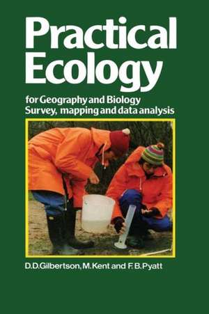
Practical Ecology for Geography and Biology: Survey, mapping and data analysis
Autor M. Gilbertsonen Limba Engleză Paperback – 18 feb 2012
Preț: 389.70 lei
Nou
Puncte Express: 585
Preț estimativ în valută:
74.58€ • 77.57$ • 61.57£
74.58€ • 77.57$ • 61.57£
Carte tipărită la comandă
Livrare economică 15-29 aprilie
Preluare comenzi: 021 569.72.76
Specificații
ISBN-13: 9781468414172
ISBN-10: 1468414178
Pagini: 320
Ilustrații: 320 p.
Dimensiuni: 155 x 235 x 17 mm
Greutate: 0.45 kg
Ediția:1985
Editura: Springer Us
Colecția Springer
Locul publicării:New York, NY, United States
ISBN-10: 1468414178
Pagini: 320
Ilustrații: 320 p.
Dimensiuni: 155 x 235 x 17 mm
Greutate: 0.45 kg
Ediția:1985
Editura: Springer Us
Colecția Springer
Locul publicării:New York, NY, United States
Public țintă
ResearchCuprins
One: Basic Concepts and Principles.- 1 Tackling ecological problems.- 2 Fundamental concepts.- 3 Making a start.- Two: Field Surveys of Plants and Animals.- 4 Describing vegetation in the field — physiognomic methods.- 5 Floristic methods for describing vegetation.- 6 Rapid surveys of plant productivity.- 7 Animal surveys.- Three: Mapping and Aerial Photography.- 8 Mapping.- 9 Distribution mapping of large areas.- 10 Aerial photography and satellite imagery.- Four: Quantitative Analysis of Data from Ecological Surveys.- 11 Data analysis and interpretation I: introduction and the Mann-Whitney U test.- 12 Data analysis and interpretation II: use of ?2 to measure association and the ?2 test.- 13 Data analysis and interpretation III: Correlation and regression using Spearman’s rank correlation coefficient and semi-averages regression.- Five: Pollution, Conservation and Environmental Management.- 14 Pollution and environmental monitoring.- 15 Biological conservation.- References.


