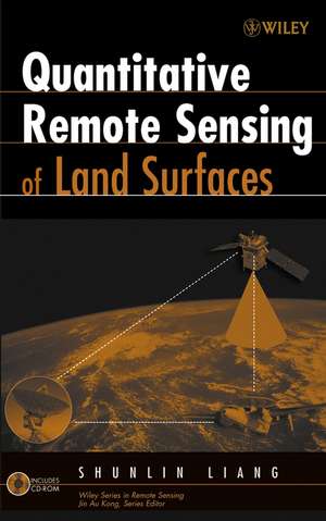
Quantitative Remote Sensing of Land Surfaces: Wiley Series in Remote Sensing and Image Processing
Autor SS Liangen Limba Engleză Hardback – 26 ian 2004
Preț: 1183.22 lei
Preț vechi: 1748.55 lei
-32% Nou
Puncte Express: 1775
Preț estimativ în valută:
226.44€ • 235.53$ • 186.94£
226.44€ • 235.53$ • 186.94£
Carte indisponibilă temporar
Doresc să fiu notificat când acest titlu va fi disponibil:
Se trimite...
Preluare comenzi: 021 569.72.76
Specificații
ISBN-13: 9780471281665
ISBN-10: 0471281662
Pagini: 560
Dimensiuni: 166 x 242 x 35 mm
Greutate: 0.92 kg
Ediția:New.
Editura: Wiley
Seria Wiley Series in Remote Sensing and Image Processing
Locul publicării:Hoboken, United States
ISBN-10: 0471281662
Pagini: 560
Dimensiuni: 166 x 242 x 35 mm
Greutate: 0.92 kg
Ediția:New.
Editura: Wiley
Seria Wiley Series in Remote Sensing and Image Processing
Locul publicării:Hoboken, United States
Public țintă
Practitioners of Interdisciplinary Research on the Earth Land Surface Environment; Graduate Students in Earth Land Surface Environmental StudiesCuprins
Descriere
Processing the vast amounts of data on the Earth's land surface environment generated by NASA's and other international satellite programs is a significant challenge.


