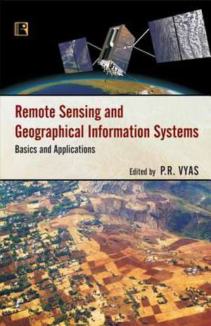
Remote Sensing and Geographical Information Systems: Basics and Applications
Editat de P. R. Vyasen Limba Engleză Hardback – 31 oct 2014
Preț: 464.92 lei
Nou
Puncte Express: 697
Preț estimativ în valută:
88.97€ • 92.55$ • 73.45£
88.97€ • 92.55$ • 73.45£
Carte indisponibilă temporar
Doresc să fiu notificat când acest titlu va fi disponibil:
Se trimite...
Preluare comenzi: 021 569.72.76
Specificații
ISBN-13: 9788131604106
ISBN-10: 8131604101
Pagini: 264
Dimensiuni: 142 x 213 x 20 mm
Greutate: 0.4 kg
Editura: Rawat Publications
ISBN-10: 8131604101
Pagini: 264
Dimensiuni: 142 x 213 x 20 mm
Greutate: 0.4 kg
Editura: Rawat Publications
