Cantitate/Preț
Produs

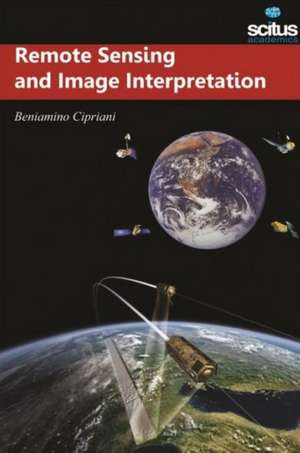
Remote Sensing and Image Interpretation

Editat de Beniamino Cipriani
en Limba Engleză Hardback – 22 ian 2016
Remote sensing and its kindred technologies, such as geographic information systems (GIS) and the Global Positioning System (GPS), are having a pervasive impact on the conduct of sciences, government, and business alike. This book is designed as a reference tool for the burgeoning number of practitioners who use geospatial information and analysis in their work. Rapid advances in computational power and sensor design are allowing remote sensing and its kindred technologies, such as geographic information systems (GIS) and the Global Positioning System (GPS), to play an increasingly important role in science, engineering, resource management, commerce, and other fields of human endeavour. Because of the wide range of academic and professional settings I which this book might be used, we have made the discussion discipline neutral. That is, rather than writing a book heavily orientated toward a single field such as business ecology, engineering, forestry, geography, geology, urban and regional planning, or water resource management, we approach the subject in such a manner that students and practitioners in any discipline should gain a clear understanding of remote sensing and their virtually unlimited applications. In short, anyone involved in geospatial data acquisition and analysis should find this book to be a valuable text and reference.
Citește tot Restrânge

Preț: 77126 lei

Preț vechi: 89681 lei
-14% Nou

Puncte Express: 1157

Preț estimativ în valută:
14762 15385$ 12289£

Carte indisponibilă temporar

Doresc să fiu notificat când acest titlu va fi disponibil:

Preluare comenzi: 021 569.72.76

Specificații

ISBN-13: 9781681171708
ISBN-10: 1681171708
Pagini: 262
Dimensiuni: 160 x 235 x 19 mm
Greutate: 0.63 kg
Editura: Scitus Academics LLC
Colecția Scitus Academics LLC