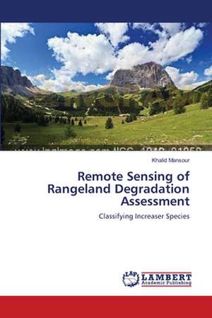
Remote Sensing of Rangeland Degradation Assessment
Autor Khalid Mansouren Limba Engleză Paperback – 16 aug 2012
Preț: 390.82 lei
Nou
Puncte Express: 586
Preț estimativ în valută:
74.79€ • 77.27$ • 62.25£
74.79€ • 77.27$ • 62.25£
Carte tipărită la comandă
Livrare economică 25 martie-08 aprilie
Preluare comenzi: 021 569.72.76
Specificații
ISBN-13: 9783659200144
ISBN-10: 365920014X
Pagini: 144
Dimensiuni: 152 x 229 x 9 mm
Greutate: 0.22 kg
Editura: LAP LAMBERT ACADEMIC PUBLISHING AG & CO KG
Colecția LAP Lambert Academic Publishing
ISBN-10: 365920014X
Pagini: 144
Dimensiuni: 152 x 229 x 9 mm
Greutate: 0.22 kg
Editura: LAP LAMBERT ACADEMIC PUBLISHING AG & CO KG
Colecția LAP Lambert Academic Publishing
Notă biografică
Khalid Mansour received his Msc degree in geography, from Khartoum University, Sudan, in March 2003, and his PhD degree in environmental sciences from the School of Environmental Sciences, University of KwaZulu-Natal, in 2012. The main fields of his current research interest are mapping and monitoring rangeland degradation using RS.


