Cantitate/Preț
Produs

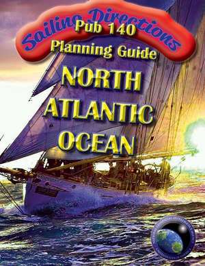
Sailing Directions Pub140 Planning Guide North Atlantic Ocean

Autor N. G. A
en Limba Engleză Paperback
EDITION 14 CURRENT 2016 There is a code included which downloads a free app. PUB 140 NORTH ATLANTIC OCEAN AND ADJACENT SEAS PLANNING GUIDE. NATIONAL GEOSPATIAL-INTELLIGENCE AGENCY. USA. Sailing Directions are published by the National Geospatial- Intelligence Agency (NGA) under the authority of Department of Defense. Sailing Directions, covering the harbors, coasts, and waters of the world, provide information that cannot be shown graphically on nautical charts and is not readily available elsewhere. Sailing Directions (Planning Guide) are intended to assist mariners in planning ocean passages and to eliminate duplication by consolidating useful information about all the countries adjacent to a particular ocean basin in one volume. Planning Guide publications are compiled and structured in the alphabetical order of countries contained within the region covered by each publication. Sailing Directions (Enroute) include detailed coastal and port approach information which supplements the largest scale chart produced by the National Geospatial-Intelligence Agency. This publication is divided into geographic areas called "Sectors.." BALTIC SEA CANADA CAPE VERDE ISLANDS CARIBBEAN SEA DENMARK FAROE ISLANDS FINLAND FRANCE GAMBIA GERMANY GIBRALTAR GUINEA GUINEA-BISSAU IRELAND LIBERIA MAURITANIA MEDITERRANEAN SEA MOROCCO NETHERLANDS NORTH ATLANTIC OCEAN NORTH SEA AND THE ENGLISH CHANNEL NORWAY PANAMA PORTUGAL SENEGAL SIERRA LEONE SPAIN SWEDEN TRINIDAD AND TOBAGO UNITED KINGDOM
Citește tot Restrânge

Preț: 15367 lei

Nou

Puncte Express: 231

Preț estimativ în valută:
2941 3094$ 2454£

Carte indisponibilă temporar

Doresc să fiu notificat când acest titlu va fi disponibil:

Preluare comenzi: 021 569.72.76

Specificații

ISBN-13: 9781463683443
ISBN-10: 1463683448
Pagini: 110
Dimensiuni: 216 x 279 x 6 mm
Greutate: 0.89 kg
Editura: CreateSpace Independent Publishing Platform