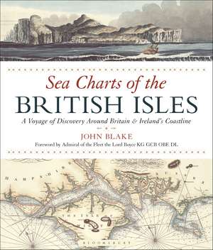
Sea Charts of the British Isles
Autor John Blakeen Limba Engleză Paperback – 14 dec 2016
Preț: 98.26 lei
Preț vechi: 123.36 lei
-20% Nou
Puncte Express: 147
Preț estimativ în valută:
18.81€ • 19.55$ • 15.60£
18.81€ • 19.55$ • 15.60£
Cartea nu se mai tipărește
Doresc să fiu notificat când acest titlu va fi disponibil:
Se trimite...
Preluare comenzi: 021 569.72.76
Specificații
ISBN-13: 9781472944900
ISBN-10: 1472944909
Pagini: 128
Ilustrații: More than 110 full-colour maps and illustrations
Dimensiuni: 240 x 280 x 13 mm
Greutate: 0.74 kg
Editura: Bloomsbury Publishing
Colecția Adlard Coles
Locul publicării:London, United Kingdom
ISBN-10: 1472944909
Pagini: 128
Ilustrații: More than 110 full-colour maps and illustrations
Dimensiuni: 240 x 280 x 13 mm
Greutate: 0.74 kg
Editura: Bloomsbury Publishing
Colecția Adlard Coles
Locul publicării:London, United Kingdom
Caracteristici
Includes previously unseen nautical records from the Admiralty Library, the National Maritime Museum, the Pepys Library, the UK Hydrographic Office and the National Archives.
Notă biografică
Lieutenant-Commander John Blake, FRIN, spent twelve years in the Royal Navy. He has worked extensively with the UK Hydrographic Office, the producers of Admiralty Charts, and is a Fellow of the Royal Institute of Navigation. John is the author of the acclaimed The Sea Chart (new edition 2016), Charts of War (2006) and Titanic: a Passenger's Guide (2011). His research interests span the maritime world, from nautical charts and surveying to merchant shipping.
Recenzii
The book takes the reader on a tour of the British Isles. The pages are large enough to show the finer details of the maps. All in all, a lovely piece of work which would make a great gift for a seafarer.
Travelling the ports, harbours, dockyards, naval bases and beaches that fringe these isles, this hardback shows off a beautiful collection of charts. Also contains interesting details on maritime history and the story of charting and surveying.
This beautiful book, packed with wonderful sea charts going back to the days when cartographers were artists as much as surveyors, is no mere coffee table book, but an important study of our maritime heritage.
Showcases a collection of charts and a wealth of information about Britain's maritime history.
The award for the most lavishly-produced book received at the Navy News offices this month must surely go to John Blake's beautiful Sea Charts of the British Isles.
John Blake is a competent interpreter of academic research for the enjoyment of a general readership, young or old. . this follow-on (from The Sea Chart) is equally as fascinating and provides a clear insight into charting over the centuries.
