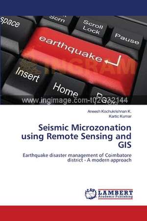
Seismic Microzonation using Remote Sensing and GIS
Autor Aneesh Kochukrishnan K., Kartic Kumaren Limba Engleză Paperback – 20 aug 2012
Preț: 322.65 lei
Nou
Puncte Express: 484
Preț estimativ în valută:
61.74€ • 64.68$ • 51.17£
61.74€ • 64.68$ • 51.17£
Carte tipărită la comandă
Livrare economică 08-22 aprilie
Preluare comenzi: 021 569.72.76
Specificații
ISBN-13: 9783659221279
ISBN-10: 3659221279
Pagini: 72
Dimensiuni: 152 x 229 x 4 mm
Greutate: 0.12 kg
Editura: LAP LAMBERT ACADEMIC PUBLISHING AG & CO KG
Colecția LAP Lambert Academic Publishing
ISBN-10: 3659221279
Pagini: 72
Dimensiuni: 152 x 229 x 4 mm
Greutate: 0.12 kg
Editura: LAP LAMBERT ACADEMIC PUBLISHING AG & CO KG
Colecția LAP Lambert Academic Publishing
Notă biografică
Aneesh K K has obtained his Bachelor of Engineering degree in Civil Engineering in 2011. Since then he has worked in Larsen & Toubro Infotech Ltd as a Software Engineer. He is carrying out the researches on Structural and Geo-technical Engineering apart from his work. He has a keen interest on carrying out Civil Engineering projects.
