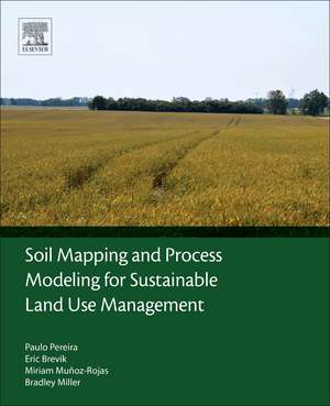
Soil Mapping and Process Modeling for Sustainable Land Use Management
Autor Paulo Pereira, Eric Brevik, Miriam Muñoz-Rojas, Bradley Milleren Limba Engleză Paperback – 19 mar 2017
- Offers both a theoretical and practical approach to soil mapping and its uses in land use management for sustainability
- Synthesizes the most up-to-date research on soil mapping techniques and applications
- Provides an interdisciplinary approach from experts worldwide working in soil mapping and land management
Preț: 561.57 lei
Preț vechi: 730.13 lei
-23% Nou
Puncte Express: 842
Preț estimativ în valută:
107.49€ • 116.80$ • 90.35£
107.49€ • 116.80$ • 90.35£
Carte tipărită la comandă
Livrare economică 14-28 aprilie
Preluare comenzi: 021 569.72.76
Specificații
ISBN-13: 9780128052006
ISBN-10: 0128052007
Pagini: 398
Dimensiuni: 191 x 235 x 25 mm
Greutate: 0.77 kg
Editura: ELSEVIER SCIENCE
ISBN-10: 0128052007
Pagini: 398
Dimensiuni: 191 x 235 x 25 mm
Greutate: 0.77 kg
Editura: ELSEVIER SCIENCE
Cuprins
Part I: Theory1. Historical Perspectives on Soil Mapping and Process Modeling for Sustainable Land Use Management2. Soil Mapping and Processes Modeling for Sustainable Land Management3. Goal Oriented Soil Mapping: Applying Modern Methods Supported by Local Knowledge
Part II: Instrumentation and Sensors Used for Gaining Information on Soil Related Parameters4. Optical Remote Sensing for Soil Mapping and Monitoring5. Geographic Information Systems and Spatial Statistics Applied for Soil Mapping: A Contribution to Land Use Management6. Soil Mapping and Processes Models for Sustainable Land Management Applied to Modern Challenges
Part III: Case Studies and Guidelines7. Modeling Agricultural Suitability Along Soil Transects Under Current Conditions and Improved Scenario of Soil Factors8. Soil and Land Use in the Alps—Challenges and Examples of Soil-Survey and Soil-Data Use to Support Sustainable Development9. Compilation of Functional Soil Maps for the Support of Spatial Planning and Land Management in Hungary10. Mapping Ash CaCO3, pH, and Extractable Elements Using Principal Component Analysis11. Human-Impacted Catenas in North-Central Iowa, United States: Ramifications for Soil Mapping12. Mapping Soil Vulnerability to Floods Under Varying Land Use and Climate
